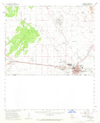
1958 Map of Douglas
USGS Topo · Published 1964About this map
The international border between the United States and Mexico defines the southern edge of this mid-century survey, centered on the copper-smelting hub of Douglas. The industrial character of the era is evident in the sprawling infrastructure of the Copper Queen Smelter and its associated Stacks, alongside the Southern Pacific railroad lines that bisect the Sulphur Springs Valley. While the urban center of Douglas and the adjacent town of Pirtleville show dense development, the surrounding landscape is marked by a network of ranching outposts and smaller settlements like Double Adobe, Forrest, and Paul Spur.
Find a feature on this map
48 named features on this map. Tap any name to fly to it.
Don’t see what you’re looking for? This feature index may not catch every label — zoom into the map to look around manually.
Map Details
Editions of this 1958 Douglas Map
2 editions found
Other maps of this area

1902 · Bisbee
USGS Topo · 1:62,500

1910 · Bisbee
USGS Topo · 1:62,500

1914 · Douglas
USGS Topo · 1:62,500

1916 · Pearce
USGS Topo · 1:125,000

1916 · Douglas
USGS Topo · 1:125,000

1917 · Chiricahua
USGS Topo · 1:125,000

1919 · Douglas
USGS Topo · 1:125,000

1919 · Perilla
USGS Topo · 1:125,000

1919 · Chiricahua
USGS Topo · 1:125,000

1922 · Swisshelm
USGS Topo · 1:62,500