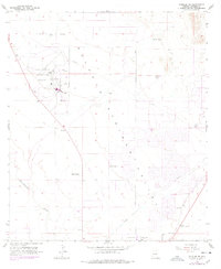
1958 Map of Douglas NE
USGS Topo · Published 1978About this map
Sulphur Springs Valley dominates the terrain of this Cochise County survey, revealing a landscape defined by aviation infrastructure and ranching outposts. The Bisbee-Douglas International Airport serves as a central hub, flanked by its own Airport Boundary and associated fuel tanks. Outside the airfield, the map documents a series of established holdings including Stewart Ranch, Wells Ranch, Watson Ranch, and Harris Ranch, which reflect the region’s agricultural character during the mid-20th century.
Find a feature on this map
21 named features on this map. Tap any name to fly to it.
Don’t see what you’re looking for? This feature index may not catch every label — zoom into the map to look around manually.
Map Details
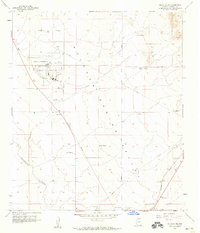
Editions of this 1958 Douglas NE Map
2 editions found
Other maps of this area

1914 · Douglas
USGS Topo · 1:62,500

1916 · Pearce
USGS Topo · 1:125,000

1916 · Douglas
USGS Topo · 1:125,000

1917 · Chiricahua
USGS Topo · 1:125,000

1919 · Douglas
USGS Topo · 1:125,000

1919 · Perilla
USGS Topo · 1:125,000

1919 · Chiricahua
USGS Topo · 1:125,000

1922 · Swisshelm
USGS Topo · 1:62,500

1925 · Douglas
USGS Topo · 1:62,500

1926 · Pedregosa
USGS Topo · 1:62,500