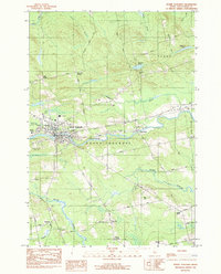
1983 Map of Dover-Foxcroft
USGS Topo · Published 1984About this map
The Piscataquis River serves as the central artery for this Piscataquis County landscape, dividing the twin communities of Dover-Foxcroft. This 1980s-era survey documents the regional transition from industrial rail reliance to modern infrastructure. The Maine Central RR cuts across the center of the sheet, connecting smaller outlying settlements like East Dover and Starbirds.
Find a feature on this map
48 named features on this map. Tap any name to fly to it.
Don’t see what you’re looking for? This feature index may not catch every label — zoom into the map to look around manually.
Map Details
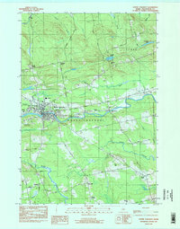
Editions of this 1983 Dover-Foxcroft Map
2 editions found
Other maps of this area

1932 · Dover-Foxcroft
USGS Topo · 1:48,000

1933 · Guilford
USGS Topo · 1:62,500

1935 · Dover-Foxcroft
USGS Topo · 1:62,500

1937 · Guilford
USGS Topo · 1:62,500

1940 · Sebec
USGS Topo · 1:48,000

1943 · Sebec
USGS Topo · 1:62,500

1950 · Sebec Lake
USGS Topo · 1:62,500

1954 · Millinocket
USGS Topo · 1:250,000

1958 · Millinocket
USGS Topo · 1:250,000

1960 · Millinocket
USGS Topo · 1:250,000