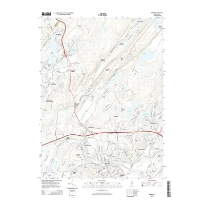
2014 Map of Dover
USGS Topo · Published 2014About this map
Dover and Rockaway serve as the primary hubs in this Morris County landscape, where the Rockaway River winds through a valley defined by significant industrial and residential development. The map details the complex transition from the urbanized centers of Wharton and Victory Gardens to the higher elevations of Mase Mtn and Copperas Mtn. For those researching local history, the map identifies numerous community sites including Saint Marys Cem, Locust Hill Cem, and Orchard Street Cem. North of the town centers, the terrain is shaped by a high concentration of water bodies and peaks, including Picatinny Lake near Picatinny Peak and the expansive Lake Hopatcong on the western edge. This 2014 survey documents the modern suburban footprint while maintaining the names of earlier settlements like Spicertown and Berkshire Valley.
Find a feature on this map
250 named features on this map. Tap any name to fly to it.
Don’t see what you’re looking for? This feature index may not catch every label — zoom into the map to look around manually.
Map Details
Editions of this 2014 Dover Map
This is the sole edition of this map. No revisions or reprints were ever made.
Other maps of this area

1888 · Franklin
USGS Topo · 1:62,500

1888 · Morristown
USGS Topo · 1:62,500

1888 · Lake Hopatcong
USGS Topo · 1:62,500

1891 · Greenwood Lake
USGS Topo · 1:62,500

1893 · Greenwood Lake
USGS Topo · 1:62,500

1894 · Morristown
USGS Topo · 1:62,500

1894 · Lake Hopatcong
USGS Topo · 1:62,500

1894 · Franklin
USGS Topo · 1:62,500

1897 · Franklin
USGS Topo · 1:62,500

1898 · Lake Hopatcong
USGS Topo · 1:62,500