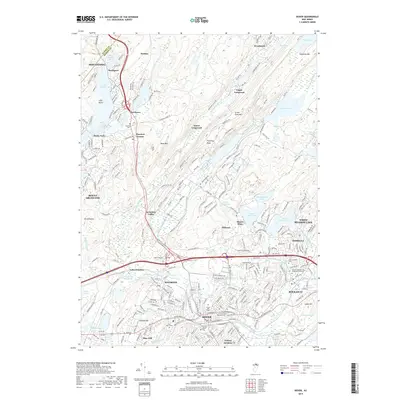
2019 Map of Dover
USGS Topo · Published 2019About this map
Dover and Rockaway serve as the industrial and residential heart of this Morris County landscape, where the Rockaway River winds through a valley dense with transportation history and suburban expansion. The terrain is defined by dramatic ridgelines such as Green Pond Mtn and Mase Mtn, which separate the developed corridors of Wharton and Mine Hill from the larger water bodies to the north. Local heritage is preserved in numerous concentrated burial grounds, including the Historic Cem of First Presbyterian Church and Locust Hill Cem. Modern cultural landmarks also appear, notably the Joe Kubert School of Cartoon and Graphic Art in Dover. The northern reaches of the map show a transition toward more recreational and preserved spaces around Lake Hopatcong and White Meadow Lake, illustrating the varied land use across the Highlands region.
Find a feature on this map
261 named features on this map. Tap any name to fly to it.
Don’t see what you’re looking for? This feature index may not catch every label — zoom into the map to look around manually.
Map Details
Editions of this 2019 Dover Map
This is the sole edition of this map. No revisions or reprints were ever made.
Other maps of this area

1888 · Franklin
USGS Topo · 1:62,500

1888 · Morristown
USGS Topo · 1:62,500

1888 · Lake Hopatcong
USGS Topo · 1:62,500

1891 · Greenwood Lake
USGS Topo · 1:62,500

1893 · Greenwood Lake
USGS Topo · 1:62,500

1894 · Morristown
USGS Topo · 1:62,500

1894 · Lake Hopatcong
USGS Topo · 1:62,500

1894 · Franklin
USGS Topo · 1:62,500

1897 · Franklin
USGS Topo · 1:62,500

1898 · Lake Hopatcong
USGS Topo · 1:62,500