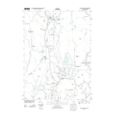
2013 Map of Dover Plains
USGS Topo · Published 2013About this map
Dover Plains and the Tenmile River valley define this portion of Dutchess County, where the landscape transitions from the broad floodplains of the Swamp River to the high ridges of Schaghticoke Mountain on the Connecticut border. The geography is deeply tied to the Harlem Valley's industrial and agricultural past, evidenced by settlements like Wingdale and Dover Furnace. The latter points to the region's history of iron production, while landmarks such as The Stone Church, a natural cavern, highlight the unique geologic formations of the area.
Find a feature on this map
154 named features on this map. Tap any name to fly to it.
Don’t see what you’re looking for? This feature index may not catch every label — zoom into the map to look around manually.
Map Details
Editions of this 2013 Dover Plains Map
This is the sole edition of this map. No revisions or reprints were ever made.
Other maps of this area

1892 · Cornwall
USGS Topo · 1:62,500

1892 · New Milford
USGS Topo · 1:62,500

1893 · New Milford
USGS Topo · 1:62,500

1893 · Cornwall
USGS Topo · 1:62,500

1893 · Clove
USGS Topo · 1:62,500

1894 · Clove
USGS Topo · 1:62,500

1898 · Clove
USGS Topo · 1:62,500

1899 · Millbrook
USGS Topo · 1:62,500

1901 · Clove
USGS Topo · 1:62,500

1902 · Millbrook
USGS Topo · 1:62,500