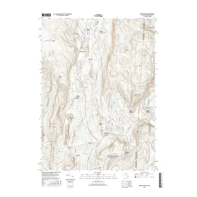
2016 Map of Dover Plains
USGS Topo · Published 2016About this map
The Tenmile River valley serves as a primary corridor for settlement and transit along the border of Dutchess County and Litchfield County. This 2016 survey shows the established communities of Dover Plains, Wingdale, and Webatuck following the path of the river and the Metro-North Railroad. Notable for family researchers are several historic interments including the Hoag Family Burial Ground and Sheldon Family Burial Ground. To the east, the Appalachian National Scenic Trail traverses the high ridges of Schaghticoke Mtn and Tenmile Hill. Industrial and architectural landmarks are well-represented by the Lime Kiln Road Bridge, the Bulls Bridge Covered Bridge crossing the Housatonic River, and the natural landmark known as The Stone Church.
Find a feature on this map
137 named features on this map. Tap any name to fly to it.
Don’t see what you’re looking for? This feature index may not catch every label — zoom into the map to look around manually.
Map Details
Editions of this 2016 Dover Plains Map
This is the sole edition of this map. No revisions or reprints were ever made.
Other maps of this area

1892 · Cornwall
USGS Topo · 1:62,500

1892 · New Milford
USGS Topo · 1:62,500

1893 · New Milford
USGS Topo · 1:62,500

1893 · Cornwall
USGS Topo · 1:62,500

1893 · Clove
USGS Topo · 1:62,500

1894 · Clove
USGS Topo · 1:62,500

1898 · Clove
USGS Topo · 1:62,500

1899 · Millbrook
USGS Topo · 1:62,500

1901 · Clove
USGS Topo · 1:62,500

1902 · Millbrook
USGS Topo · 1:62,500