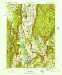
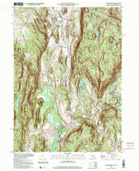
1944 Map of Dover Plains
USGS Topo · Published 1956About this map
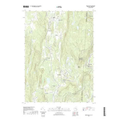
The Tenmile River valley serves as the central artery for this mid-1940s landscape, where the Central New England railroad tracks trace a path through a series of agricultural and early industrial hamlets. The settlement of Dover Plains is anchored by its natural landmarks, including the historic cavern known as The Stone Church and the peculiar rock formations of The Seven Wells. Further south, the map documents the expansive grounds of the Harlem Valley State Hospital near Wingdale, illustrating the large-scale institutional presence that once defined the local economy.
Find a feature on this map
73 named features on this map. Tap any name to fly to it.
Don’t see what you’re looking for? This feature index may not catch every label — zoom into the map to look around manually.
Map Details
Editions of this 1944 Dover Plains Map
2 editions found
Historical Maps of Dover Through Time
9 maps found
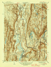
1944 Dover Plains
Dutchess County, NY
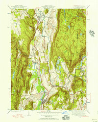
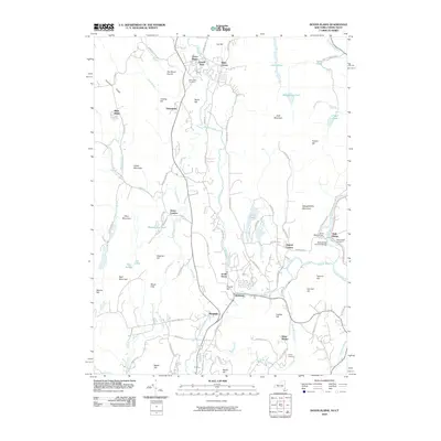
1947 Dover Plains
Dutchess County, NY
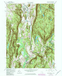
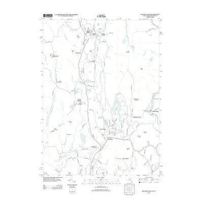
1958 Dover Plains
Dutchess County, NY
1998 Dover Plains
Dutchess County, NY
2010 Dover Plains
Dutchess County, NY
2013 Dover Plains
Dutchess County, NY
2016 Dover Plains
Dutchess County, NY
2019 Dover Plains
Dutchess County, NY

2023 Dover Plains
Dutchess County, NY