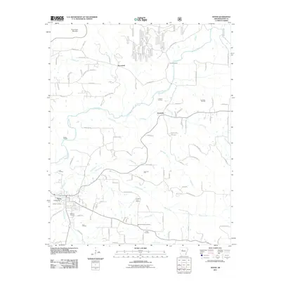
2011 Map of Dover
USGS Topo · Published 2011About this map
Illinois Bayou and its numerous tributaries, including Little Creek and McCoy Creek, define the topography of this Pope County region. The community of Dover serves as a local hub, situated near College Hill and the Jamison Cemetery. The landscape is dotted with ancestral burial grounds such as Stout Cemetery, Goates Cemetery, and Brooks Cemetery, which provide significant points of interest for genealogists and local historians. Economic activity in the early 21st century is represented by the Dover Gas Field and the Scottsville Gas Field, while aviation is marked by the Landers Loop Airport. The transition from the rural settlements of Scottsville and Broomfield toward the rising terrain of Three Knob Mountain in the north reveals a network of ridge roads and valley farms, illustrating the region's enduring rural character.
Find a feature on this map
124 named features on this map. Tap any name to fly to it.
Don’t see what you’re looking for? This feature index may not catch every label — zoom into the map to look around manually.
Map Details
Editions of this 2011 Dover Map
This is the sole edition of this map. No revisions or reprints were ever made.
Other maps of this area

1879 · Washington
USGS Topo · 1:62,500

1887 · Smyrna
USGS Topo · 1:62,500

1888 · Dardanelle #1
USGS Topo · 1:62,500

1889 · Treat
USGS Topo · 1:62,500

1889 · Marshall #3
USGS Topo · 1:62,500

1890 · Dardanelle
USGS Topo · 1:125,000

1892 · Marshall
USGS Topo · 1:125,000

1892 · Morrillton
USGS Topo · 1:125,000

1894 · Morrillton
USGS Topo · 1:125,000

1894 · Marshall
USGS Topo · 1:125,000