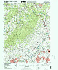
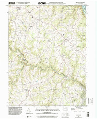
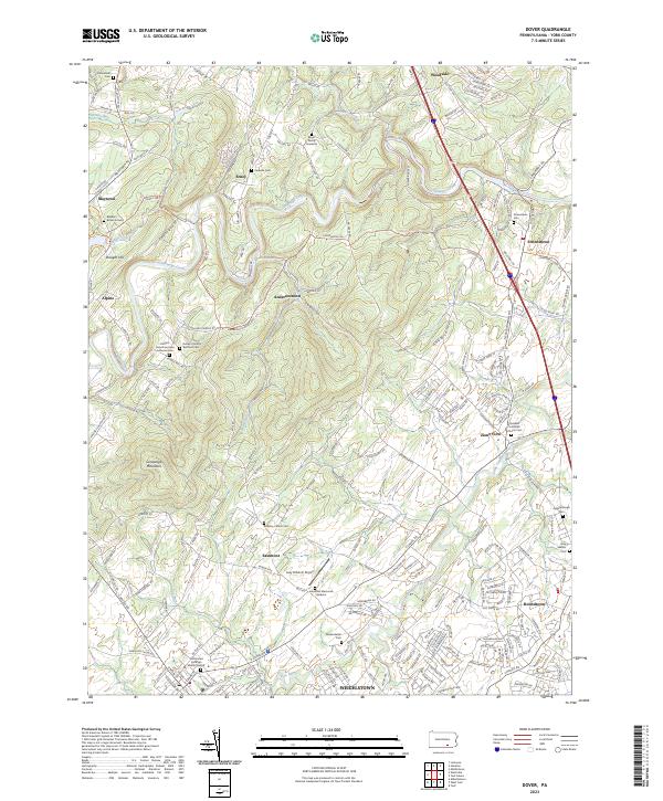
1999 Map of Dover
USGS Topo · Published 2001About this map
Conewago Creek and Little Conewago Creek define the landscape of northern York County on the eve of the millennium, carving through the Conewago Mountains to create a varied topography of ridges and valleys. The borough of Dover anchors the southwest corner of the sheet, showing the suburban expansion and residential clusters that characterize this era. Historic crossroads and smaller communities like Strinestown, Zions View, and Andersontown are clearly marked alongside established recreational hubs such as Gifford Pinchot State Park and the Outdoor Country Club.
Find a feature on this map
56 named features on this map. Tap any name to fly to it.
Don’t see what you’re looking for? This feature index may not catch every label — zoom into the map to look around manually.
Map Details
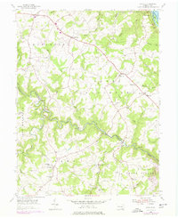
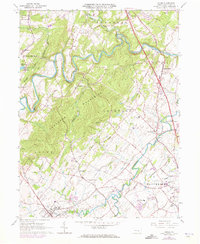
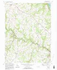
Editions of this 1999 Dover Map
This is the sole edition of this map. No revisions or reprints were ever made.
Historical Maps of Warrington Township Through Time
11 maps found
Featured Locations
- Conewago Township, PA
- Newberry Township, PA
- Warrington Township, PA
- Dover, PA
- West Manchester Township, PA