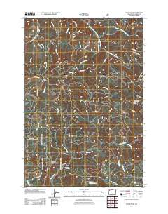
2011 Map of Dovre Peak
USGS Topo · Published 2011About this map
Trask Summit serves as a key landmark in this high-elevation corner of Tillamook County, where the drainage divides of the South Fork Trask River and the Nestucca River systems meet. The landscape is defined by an intricate network of logging and access roads, including the Headquarters Grade, Bark Shanty Rd, and the historical Toll Rd. These routes trace the steep contours around peaks like Dovre Peak, providing access to the deep timber and creek valleys that have long supported the local forest economy.
Find a feature on this map
36 named features on this map. Tap any name to fly to it.
Don’t see what you’re looking for? This feature index may not catch every label — zoom into the map to look around manually.
Map Details
Editions of this 2011 Dovre Peak Map
This is the sole edition of this map. No revisions or reprints were ever made.
Other maps of this area

1942 · Ginger Peak
USGS Topo · 1:62,500

1942 · Sheridan
USGS Topo · 1:62,500

1942 · Spirit Mtn
USGS Topo · 1:62,500

1942 · Fairdale
USGS Topo · 1:62,500

1948 · Vancouver
USGS Topo · 1:250,000

1950 · Vancouver
USGS Topo · 1:250,000

1950 · Vancouver
USGS Topo · 1:250,000

1955 · Blaine
USGS Topo · 1:62,500

1955 · Fairdale
USGS Topo · 1:62,500

1955 · Grand Ronde
USGS Topo · 1:62,500