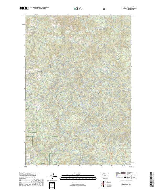
2023 Map of Dovre Peak
USGS Topo · Published 2023About this map
The Coast Range of Tillamook County forms a complex topographical web on this 2023 sheet, dominated by the high points of Dovre Peak and Thune Mtn. This landscape is primarily defined by the intricate headwaters of two major coastal drainage systems. To the north, the South Fork Trask River and its tributary, the East Fork South Fork Trask River, carve through steep timberlands. To the south, the Nestucca Wild and Scenic River winds through the Siuslaw National Forest. The map documents a modern network of logging and forest service infrastructure, including Murphy Camp Rd, Headquarters Grade, and Toll Rd. These routes, along with recreational paths like Upper Rosie's Trl, highlight the area's ongoing use for both resource management and outdoor access near Trask Summit.
Find a feature on this map
47 named features on this map. Tap any name to fly to it.
Don’t see what you’re looking for? This feature index may not catch every label — zoom into the map to look around manually.
Map Details
Editions of this 2023 Dovre Peak Map
This is the sole edition of this map. No revisions or reprints were ever made.
Other maps of this area

1942 · Ginger Peak
USGS Topo · 1:62,500

1942 · Sheridan
USGS Topo · 1:62,500

1942 · Spirit Mtn
USGS Topo · 1:62,500

1942 · Fairdale
USGS Topo · 1:62,500

1948 · Vancouver
USGS Topo · 1:250,000

1950 · Vancouver
USGS Topo · 1:250,000

1950 · Vancouver
USGS Topo · 1:250,000

1955 · Blaine
USGS Topo · 1:62,500

1955 · Fairdale
USGS Topo · 1:62,500

1955 · Grand Ronde
USGS Topo · 1:62,500