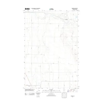
2013 Map of Downer
USGS Topo · Published 2013About this map
Downer and Muskoda anchor this agricultural landscape in Clay County, illustrating the sparse settlement patterns typical of the Red River Valley’s eastern edge. The Buffalo River meanders across the northern section, its wooded corridor providing a sharp contrast to the surrounding section-line grid. Further south, the intermittent flow of Hay Cr drains towards the southwest corner of the sheet. The local transport network is defined by a rigorous system of township roads, including 150th St S and 200th St S, which navigate around natural depressions like Maria Lake. This 2013 survey by the U.S. Geological Survey documents the intersection of modern state infrastructure, such as Mn-9, with the enduring rural landmarks and watercourses that have shaped this region's farming history.
Find a feature on this map
30 named features on this map. Tap any name to fly to it.
Don’t see what you’re looking for? This feature index may not catch every label — zoom into the map to look around manually.
Map Details
Editions of this 2013 Downer Map
This is the sole edition of this map. No revisions or reprints were ever made.
Other maps of this area

1895 · Fargo
USGS Topo · 1:125,000

1897 · Fargo
USGS Topo · 1:125,000

1919 · Barnesville
USGS Topo · 1:62,500

1919 · Hawley
USGS Topo · 1:62,500

1952 · Barnesville
USGS Topo · 1:62,500

1953 · Fargo
USGS Topo · 1:250,000

1956 · Fargo
USGS Topo · 1:250,000

1964 · Baker
USGS Topo · 1:24,000
1964 · Glyndon South
USGS Topo · 1:24,000
1964 · Glyndon North
USGS Topo · 1:24,000