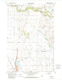
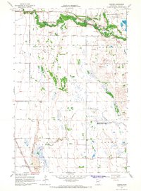
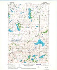
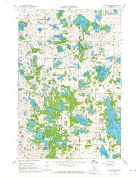
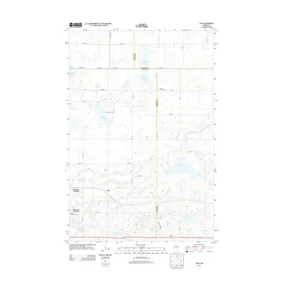
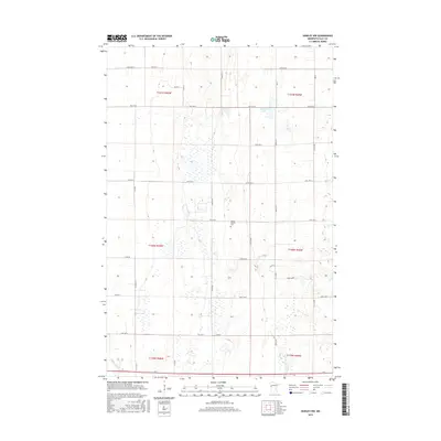
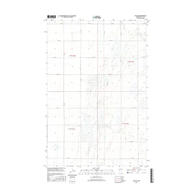
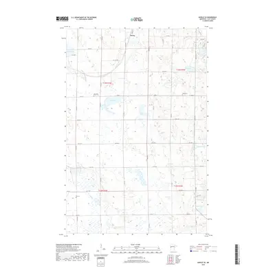
1966 Map of Downer
USGS Topo · Published 1988About this map
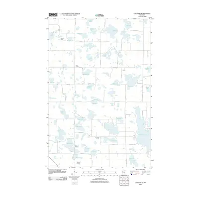
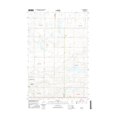
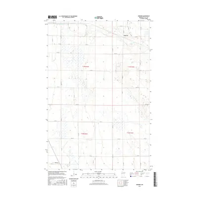
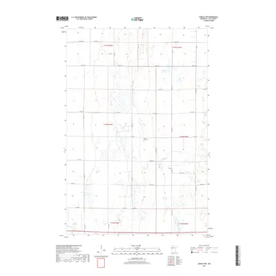
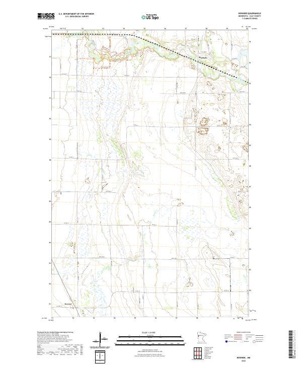
The Buffalo River carves a winding path through the northern reaches of this Clay County landscape, anchoring the wooded terrain of Buffalo River State Park. This mid-century survey reveals a transition from the riparian environment of the river to the structured agricultural drainage of the Red River Valley, evidenced by an extensive network of artificial waterways including County Ditch No 57, County Ditch No 12, and County Ditch No 21.
Find a feature on this map
20 named features on this map. Tap any name to fly to it.
Don’t see what you’re looking for? This feature index may not catch every label — zoom into the map to look around manually.
Map Details
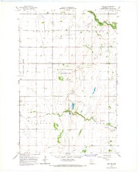
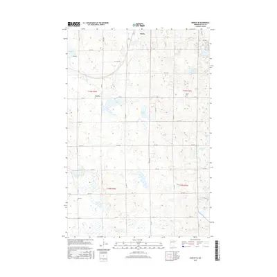
Editions of this 1966 Downer Map
2 editions found
Historical Maps of Downer Through Time
66 maps found
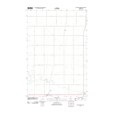
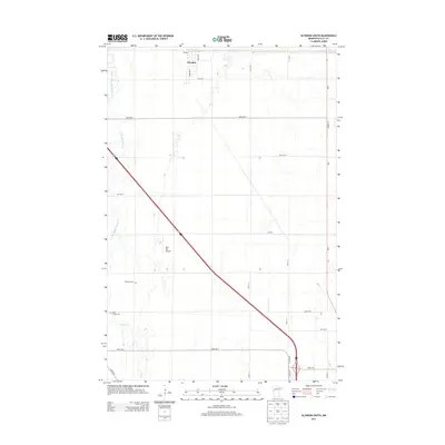
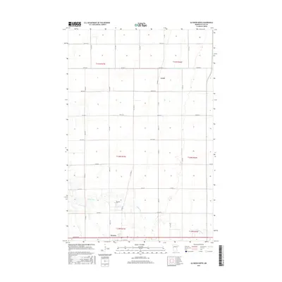
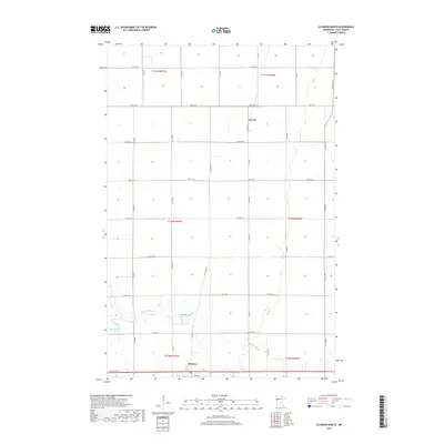
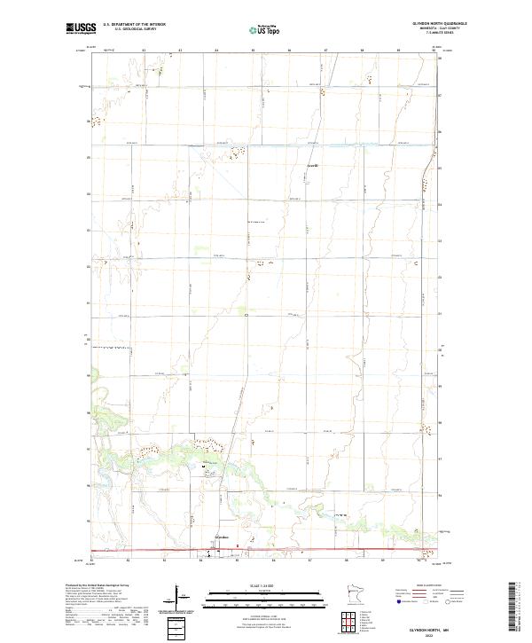
1964 Glyndon North
Clay County, MN
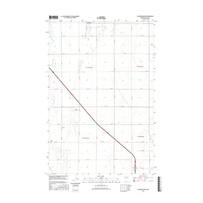
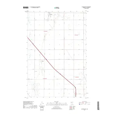
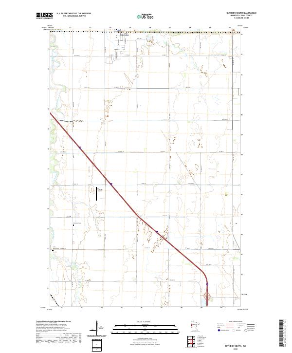
1964 Glyndon South
Clay County, MN
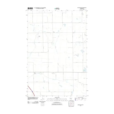
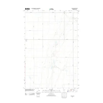
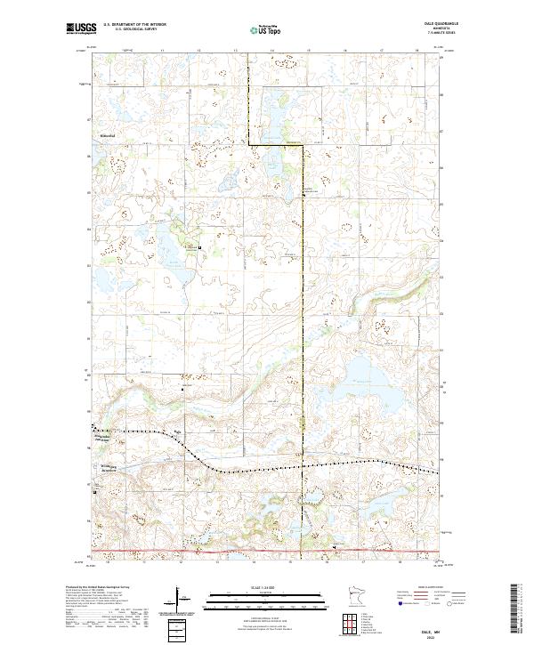
1966 Dale
Clay County, MN
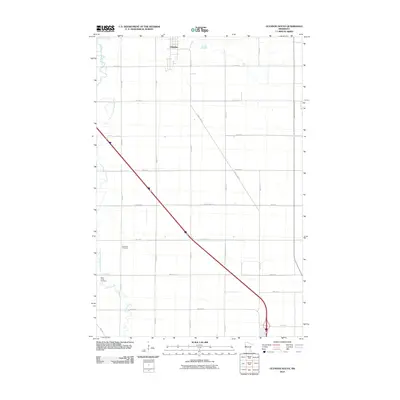
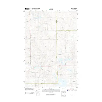
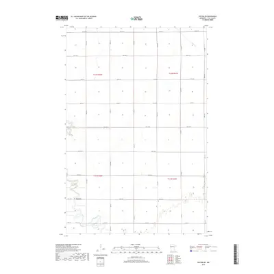
1966 Downer
Clay County, MN
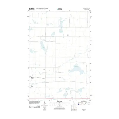
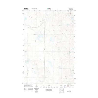
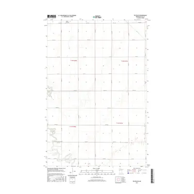
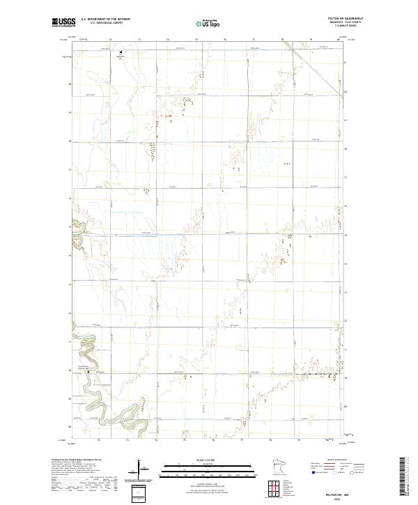
1966 Felton SW
Clay County, MN
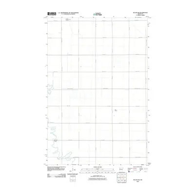
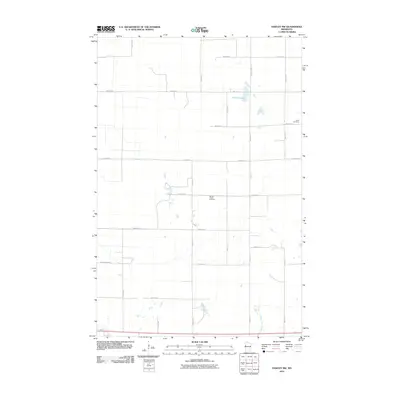
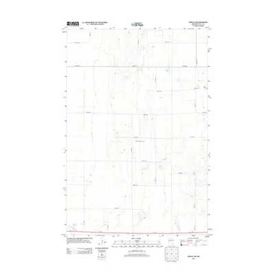
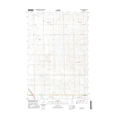
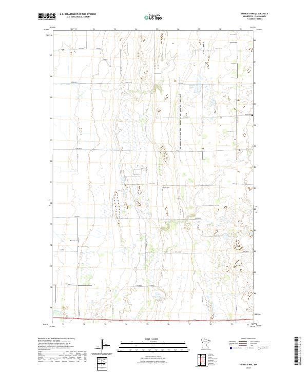
1966 Hawley NW
Clay County, MN
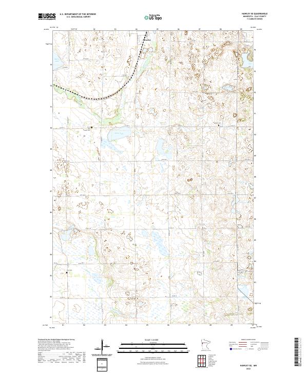
1966 Hawley SE
Clay County, MN
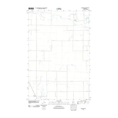
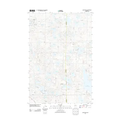
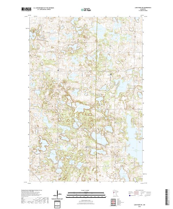
1966 Lake Park SW
Clay County, MN
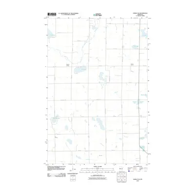
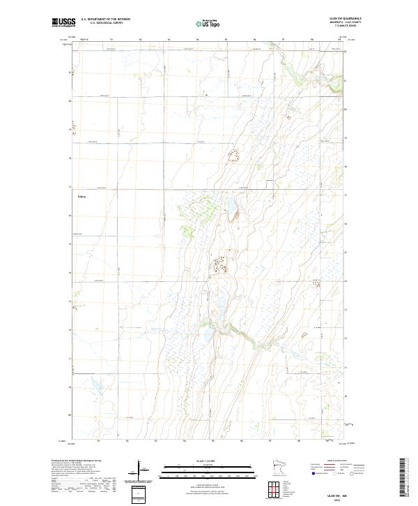
1966 Ulen SW
Clay County, MN
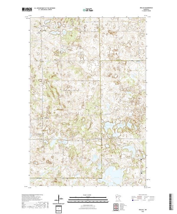
1973 Rollag
Clay County, MN
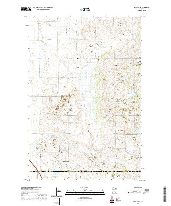
1981 Big Slough
Clay County, MN
2010 Big Slough
Clay County, MN
2010 Dale
Clay County, MN
2010 Downer
Clay County, MN
2010 Felton SW
Clay County, MN
2010 Glyndon North
Clay County, MN
2010 Glyndon South
Clay County, MN
2010 Hawley NW
Clay County, MN
2010 Hawley SE
Clay County, MN
2010 Lake Park SW
Clay County, MN
2010 Rollag
Clay County, MN
2011 Ulen SW
Clay County, MN
2013 Big Slough
Clay County, MN
2013 Dale
Clay County, MN
2013 Downer
Clay County, MN
2013 Felton SW
Clay County, MN
2013 Glyndon North
Clay County, MN
2013 Glyndon South
Clay County, MN
2013 Hawley NW
Clay County, MN
2013 Hawley SE
Clay County, MN
2013 Lake Park SW
Clay County, MN
2013 Rollag
Clay County, MN
2013 Ulen SW
Clay County, MN
2016 Big Slough
Clay County, MN
2016 Dale
Clay County, MN
2016 Downer
Clay County, MN
2016 Felton SW
Clay County, MN
2016 Glyndon North
Clay County, MN
2016 Glyndon South
Clay County, MN
2016 Hawley NW
Clay County, MN
2016 Hawley SE
Clay County, MN
2016 Lake Park SW
Clay County, MN
2016 Rollag
Clay County, MN
2016 Ulen SW
Clay County, MN
2019 Big Slough
Clay County, MN
2019 Dale
Clay County, MN
2019 Downer
Clay County, MN
2019 Felton SW
Clay County, MN
2019 Glyndon North
Clay County, MN
2019 Glyndon South
Clay County, MN
2019 Hawley NW
Clay County, MN
2019 Hawley SE
Clay County, MN
2019 Lake Park SW
Clay County, MN
2019 Rollag
Clay County, MN
2019 Ulen SW
Clay County, MN
2022 Big Slough
Clay County, MN
2022 Dale
Clay County, MN
2022 Downer
Clay County, MN
2022 Felton SW
Clay County, MN
2022 Glyndon North
Clay County, MN
2022 Glyndon South
Clay County, MN
2022 Hawley NW
Clay County, MN
2022 Hawley SE
Clay County, MN
2022 Lake Park SW
Clay County, MN
2022 Rollag
Clay County, MN
2022 Ulen SW
Clay County, MN