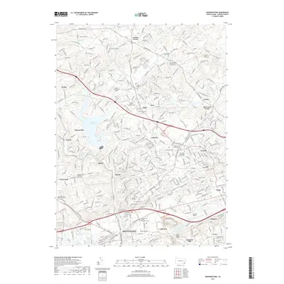
2019 Map of Downingtown
USGS Topo · Published 2019About this map
Downingtown sits at the southern edge of this landscape, where the historic E Lancaster Ave and W Lancaster Ave corridors meet the North Valley Hills. The map details a transition from the dense street grids of the borough to the suburbanizing hills of Chester County, punctuated by numerous early religious sites. Genealogists will find a high concentration of burial grounds, including the Downingtown Friends Meetinghouse Cem and the Uwchlan Friends Burial Ground near Lionville.
Find a feature on this map
65 named features on this map. Tap any name to fly to it.
Don’t see what you’re looking for? This feature index may not catch every label — zoom into the map to look around manually.
Map Details
Editions of this 2019 Downingtown Map
This is the sole edition of this map. No revisions or reprints were ever made.
Other maps of this area

1901 · West Chester
USGS Topo · 1:62,500

1904 · West Chester
USGS Topo · 1:62,500

1904 · Coatesville
USGS Topo · 1:62,500

1905 · Honey Brook
USGS Topo · 1:62,500

1906 · Phoenixville
USGS Topo · 1:62,500

1906 · Coatesville
USGS Topo · 1:62,500

1907 · Honeybrook
USGS Topo · 1:62,500

1918 · Coatesville
USGS Topo · 1:62,500

1941 · Honeybrook
USGS Topo · 1:62,500

1943 · Coatesville
USGS Topo · 1:62,500
Featured Places
- Caln Township, PA
- Downingtown, PA
- Lionville, Uwchlan Township
- West Pikeland Township, PA
- Wallace Township, PA