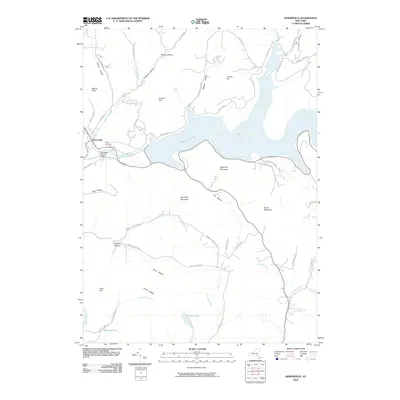
2010 Map of Downsville
USGS Topo · Published 2010About this map
Downsville sits at the western edge of this 2010 survey, serving as the gateway to the massive Pepacton Reservoir which dominates the central valley. The settlement is anchored by the Downsville Covered Bridge, a notable landmark spanning the East Branch Delaware River just before the waters enter the reservoir's controlled reach. The surrounding landscape is defined by a dense network of hollows and ridges, including Telford Hollow, Gregory Hollow, and Huntley Hollow, which channel numerous streams like Doe Brook and Downs Brook toward the valley floor.
Find a feature on this map
57 named features on this map. Tap any name to fly to it.
Don’t see what you’re looking for? This feature index may not catch every label — zoom into the map to look around manually.
Map Details
Editions of this 2010 Downsville Map
This is the sole edition of this map. No revisions or reprints were ever made.
Other maps of this area

1920 · Long Eddy
USGS Topo · 1:62,500

1921 · Long Eddy
USGS Topo · 1:48,000

1921 · Livingston Manor
USGS Topo · 1:62,500

1922 · Andes
USGS Topo · 1:62,500

1923 · Long Eddy
USGS Topo · 1:62,500

1923 · Walton
USGS Topo · 1:48,000

1923 · Livingston Manor
USGS Topo · 1:62,500

1924 · Andes
USGS Topo · 1:62,500

1925 · Walton
USGS Topo · 1:62,500

1943 · Honesdale
USGS Topo · 1:125,000