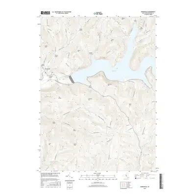
2016 Map of Downsville
USGS Topo · Published 2016About this map
Downsville serves as the primary settlement on this map, situated where the Downsville Covered Bridge crosses the East Branch Delaware River. The town is the gateway to the massive Pepacton Reservoir, which dominates the central and eastern portions of the landscape. High-elevation landmarks such as Sugarloaf Mtn and Campbell Mtn overlook the flooded valley, illustrating the dramatic change in the Catskill landscape following the reservoir's mid-century creation. Local heritage is preserved at the Paige Cem and along winding rural routes like Gregory Hollow Rd and Boy Scout Rd. To the south, the terrain becomes increasingly complex around Pond Hollow and Cherry Ridge, where numerous tributaries like Campbell Brook and Russell Brook feed into the regional watershed. This 2016 survey documents the modern balance between small-town settlement and the significant water infrastructure that defines this area of Delaware County.
Find a feature on this map
72 named features on this map. Tap any name to fly to it.
Don’t see what you’re looking for? This feature index may not catch every label — zoom into the map to look around manually.
Map Details
Editions of this 2016 Downsville Map
This is the sole edition of this map. No revisions or reprints were ever made.
Other maps of this area

1920 · Long Eddy
USGS Topo · 1:62,500

1921 · Long Eddy
USGS Topo · 1:48,000

1921 · Livingston Manor
USGS Topo · 1:62,500

1922 · Andes
USGS Topo · 1:62,500

1923 · Long Eddy
USGS Topo · 1:62,500

1923 · Walton
USGS Topo · 1:48,000

1923 · Livingston Manor
USGS Topo · 1:62,500

1924 · Andes
USGS Topo · 1:62,500

1925 · Walton
USGS Topo · 1:62,500

1943 · Honesdale
USGS Topo · 1:125,000