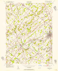
1953 Map of Doylestown
USGS Topo · Published 1954About this map
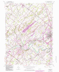
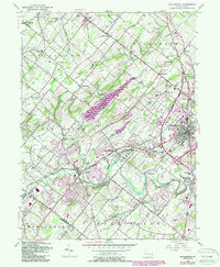
Doylestown serves as the focal point of this mid-century survey, situated at the confluence of several major transit corridors. The Reading railroad bisects the landscape, connecting established boroughs like Chalfont and New Britain to the county seat. A notable concentration of institutional and educational landmarks appears south of the main town, including the National Agricultural College (Farm Sch P.O.), the County Home, and the Tabor Home. The landscape transitions from the developed grids of the townships to the winding path of Neshaminy Creek and its tributaries, such as Deep Run and Pine Run. Scattered throughout the rural stretches of Hilltown and Plumstead are numerous local schoolhouses like Hunsberger Sch and Fretz Sch, alongside legacy settlements such as Mount Pleasant (Hilltown P.O.) and Fountainville.
Find a feature on this map
60 named features on this map. Tap any name to fly to it.
Don’t see what you’re looking for? This feature index may not catch every label — zoom into the map to look around manually.
Map Details
Editions of this 1953 Doylestown Map
6 editions found
Other maps of this area

1888 · Quakertown
USGS Topo · 1:62,500

1890 · Doylestown
USGS Topo · 1:62,500

1890 · Quakertown
USGS Topo · 1:62,500

1891 · Doylestown
USGS Topo · 1:62,500

1893 · Germantown
USGS Topo · 1:62,500

1894 · Quakertown
USGS Topo · 1:62,500

1894 · Norristown
USGS Topo · 1:62,500

1894 · Germantown
USGS Topo · 1:62,500

1895 · Norristown
USGS Topo · 1:62,500

1896 · Germantown
USGS Topo · 1:62,500
Featured Places
- Warrington Township, PA
- Buckingham Township, PA
- Hilltown Township, PA
- Doylestown, PA
- Bedminster Township, PA