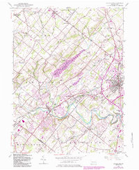
1953 Map of Doylestown
USGS Topo · Published 1984About this map
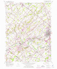
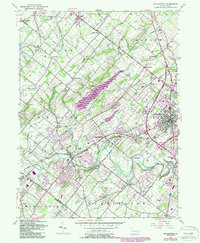
The borough of Doylestown and its surrounding townships serve as the focal point for this mid-century look at central Bucks County. This survey captures a landscape in transition, where established rural hamlets like Fountainville and Newville meet the burgeoning educational and recreational footprints of the post-war era. The sprawling campus of the Delaware Valley College of Science and Agriculture and the extensive waters of the Peace Valley Reservoir dominate the central terrain, while Septa rail lines connect the boroughs of Chalfont and New Britain. Local history is visible in the numerous small schoolhouses, such as Iron Hill Sch and Fretz Sch, and the presence of the Warrington Airfield, reflecting the area's diverse mid-century character.
Find a feature on this map
66 named features on this map. Tap any name to fly to it.
Don’t see what you’re looking for? This feature index may not catch every label — zoom into the map to look around manually.
Map Details
Editions of this 1953 Doylestown Map
6 editions found
Other maps of this area

1888 · Quakertown
USGS Topo · 1:62,500

1890 · Doylestown
USGS Topo · 1:62,500

1890 · Quakertown
USGS Topo · 1:62,500

1891 · Doylestown
USGS Topo · 1:62,500

1893 · Germantown
USGS Topo · 1:62,500

1894 · Quakertown
USGS Topo · 1:62,500

1894 · Norristown
USGS Topo · 1:62,500

1894 · Germantown
USGS Topo · 1:62,500

1895 · Norristown
USGS Topo · 1:62,500

1896 · Germantown
USGS Topo · 1:62,500
Featured Places
- Warrington Township, PA
- Buckingham Township, PA
- Hilltown Township, PA
- Doylestown, PA
- Bedminster Township, PA