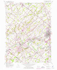
1953 Map of Doylestown
USGS Topo · Published 1975About this map
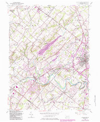
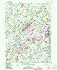
Doylestown serves as the focal point of this Bucks County survey, where the Reading railroad line cuts through the borough toward New Britain and Chalfont. The landscape is defined by the winding course of Neshaminy Creek and its many tributaries, including the North Branch and Pine Run. This mid-century view captures the area before significant suburban expansion, showing a network of small schoolhouses like Dyers Hill Sch and Mill Creek Sch serving rural crossroads. Notable institutional landmarks such as the Delaware Valley College of Science and Agriculture and the County Home highlight the transition from agricultural roots to modern development. The map also records specialized land uses of the era, from the Warrington Airfield in the south to the leisure grounds at Forest Park near the Chalfont borough line.
Find a feature on this map
66 named features on this map. Tap any name to fly to it.
Don’t see what you’re looking for? This feature index may not catch every label — zoom into the map to look around manually.
Map Details
Editions of this 1953 Doylestown Map
6 editions found
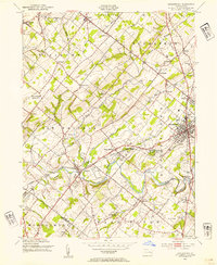
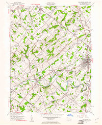
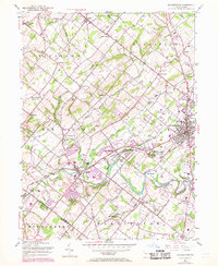
Other maps of this area

1888 · Quakertown
USGS Topo · 1:62,500

1890 · Doylestown
USGS Topo · 1:62,500

1890 · Quakertown
USGS Topo · 1:62,500

1891 · Doylestown
USGS Topo · 1:62,500

1893 · Germantown
USGS Topo · 1:62,500

1894 · Quakertown
USGS Topo · 1:62,500

1894 · Norristown
USGS Topo · 1:62,500

1894 · Germantown
USGS Topo · 1:62,500

1895 · Norristown
USGS Topo · 1:62,500

1896 · Germantown
USGS Topo · 1:62,500
Featured Places
- Warrington Township, PA
- Buckingham Township, PA
- Hilltown Township, PA
- Doylestown, PA
- Bedminster Township, PA