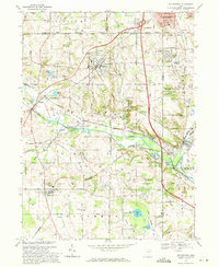
1969 Map of Doylestown
USGS Topo · Published 1971About this map
Doylestown and its surrounding villages sit at a crossroads of industrial activity and rural land use in Northeast Ohio. The landscape is defined by the broad valley of Chippewa Creek and the Tuscarawas River, where the Penn Central tracks and an Old Baltimore and Ohio Railroad Grade trace the historical movement of coal and manufactured goods. Notable industrial footprints include a massive Underground Gas Storage Field spanning the southern half of the quadrangle and a Filtration Plant near Marshallville.
Find a feature on this map
54 named features on this map. Tap any name to fly to it.
Don’t see what you’re looking for? This feature index may not catch every label — zoom into the map to look around manually.
Map Details
Editions of this 1969 Doylestown Map
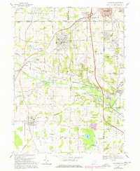
2 editions found
Other maps of this area

1901 · Massillon
USGS Topo · 1:62,500

1901 · Wooster
USGS Topo · 1:62,500

1903 · Massillon
USGS Topo · 1:62,500

1903 · Wooster
USGS Topo · 1:62,500

1903 · Akron
USGS Topo · 1:62,500

1904 · Medina
USGS Topo · 1:62,500

1905 · Akron
USGS Topo · 1:62,500

1906 · Medina
USGS Topo · 1:62,500

1950 · Cleveland
USGS Topo · 1:250,000

1951 · Canton
USGS Topo · 1:250,000