
Historical Maps of Summit County, Ohio
What stories do these 105 old maps tell about Summit County's past? From 1901 to present day, these maps reveal the evolution of streets, neighborhoods, iconic landmarks, and natural features in stunning high-res detail. Whether you're a history enthusiast, genealogist, or professional in education, environmental work, or architecture, these maps are perfect for exploration, research, and discovery.
Discover Summit County's history through maps:
- Trace Summit County's growth: Explore earlier and latest maps and editions to uncover how the region changed over time.
- Examine technical details: Each map includes its creators, publishers, scale, dimensions, and full source information.
- Layer maps with modern tools & imagery: Compare historical maps to modern-day with high-resolution satellite imagery and detailed LiDAR layers.
- Sourced from trusted archives: Carefully preserved and digitized by institutions like the United Stated Geological Survey and the US Library of Congress.
- Access in any format: View and explore in high resolution, download for offline use, or order a museum-quality print for yourself or a loved one.
Begin your journey into Summit County's history with these remarkable must-see maps.
Summit County, OH maps
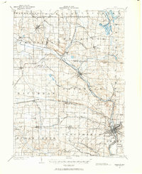
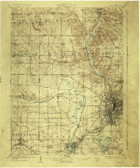
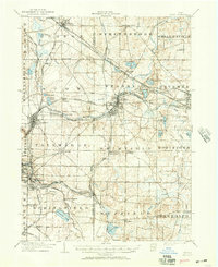
(105)- 1901 Map of Massillon, 1955 Print
 1901 Massillon1955 Print · USGSCovers Summit County, including Akron, Massillon, and other nearby areas
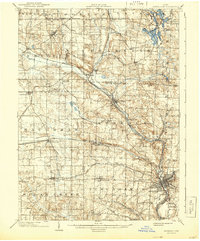
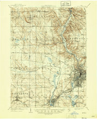
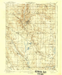
 - 1901 Map of Canton, 1958 Print
 1901 Canton1958 Print · USGSCovers Summit County, including Canton, Plain, and other nearby areas
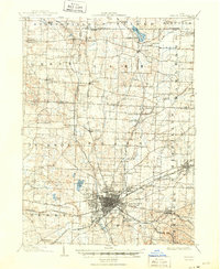
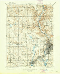
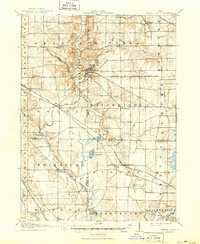
 - 1901 Map of Massillon, 1963 Print
 1901 Massillon1963 Print · USGSCovers Summit County, including Akron, Massillon, and other nearby areas
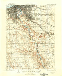
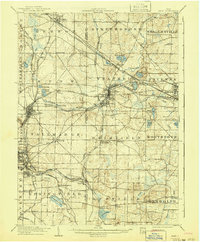
 - 1903 Map of Massillon, 1934 Print
 1903 Massillon1934 Print · USGSCovers Summit County, including Akron, Massillon, and other nearby areas
 - 1903 Map of Cleveland, 1939 Print
 1903 Cleveland1939 Print · USGSCovers Summit County, including Cleveland, Parma, and other nearby areas
 - 1903 Map of Canton, 1939 Print
 1903 Canton1939 Print · USGSCovers Summit County, including Canton, Plain, and other nearby areas
 - 1903 Map of Massillon, 1944 Print
 1903 Massillon1944 Print · USGSCovers Summit County, including Akron, Massillon, and other nearby areas
 - 1903 Map of Canton, 1950 Print
 1903 Canton1950 Print · USGSCovers Summit County, including Canton, Plain, and other nearby areas
 - 1903 Map of Cleveland, 1950 Print
 1903 Cleveland1950 Print · USGSCovers Summit County, including Cleveland, Parma, and other nearby areas
 - 1903 Map of Akron, 1961 Print
 1903 Akron1961 Print · USGSCovers Summit County, including Akron, Cuyahoga Falls, and other nearby areas
 - 1905 Map of Akron, 1926 Print
 1905 Akron1926 Print · USGSCovers Summit County, including Akron, Cuyahoga Falls, and other nearby areas
 - 1905 Map of Akron, 1946 Print
 1905 Akron1946 Print · USGSCovers Summit County, including Akron, Cuyahoga Falls, and other nearby areas
 - 1905 Map of Akron, 1948 Print
 1905 Akron1948 Print · USGSCovers Summit County, including Akron, Cuyahoga Falls, and other nearby areas
 - 1906 Map of Kent, 1941 Print
 1906 Kent1941 Print · USGSCovers Summit County, including Akron, Cuyahoga Falls, and other nearby areas
 - 1906 Map of Kent, 1950 Print
 1906 Kent1950 Print · USGSCovers Summit County, including Akron, Cuyahoga Falls, and other nearby areas
 - 1906 Map of Chagrin Falls, 1955 Print
 1906 Chagrin Falls1955 Print · USGSCovers Summit County, including Solon, Hudson, and other nearby areas
 - 1908 Map of Chagrin Falls, 1939 Print
 1908 Chagrin Falls1939 Print · USGSCovers Summit County, including Solon, Hudson, and other nearby areas
 - 1908 Map of Chagrin Falls, 1950 Print
 1908 Chagrin Falls1950 Print · USGSCovers Summit County, including Solon, Hudson, and other nearby areas
 - 1950 Map of Cleveland
 1950 Cleveland1950 Print · USGSCovers Summit County, including Cleveland, Akron, and other nearby areas
 - 1951 Map of Canton
 1951 Canton1951 Print · USGSCovers Summit County, including Pittsburgh, Akron, and other nearby areas
 - 1953 Map of Canton
 1953 Canton1953 Print · USGSCovers Summit County, including Pittsburgh, Akron, and other nearby areas
 - 1953 Map of Broadview Heights, 1955 Print
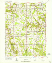 1953 Broadview Heights1955 Print · USGSCovers Summit County, including Parma, North Royalton, and other nearby areas
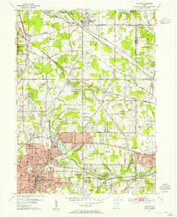
 - 1953 Map of Twinsburg, 1955 Print
 1953 Twinsburg1955 Print · USGSCovers Summit County, including Solon, Hudson, and other nearby areas
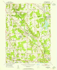
 - 1953 Map of Northfield, 1955 Print
 1953 Northfield1955 Print · USGSCovers Summit County, including Brecksville, Bedford, and other nearby areas
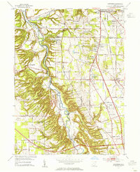
 - 1953 Map of Hudson, 1955 Print
 1953 Hudson1955 Print · USGSCovers Summit County, including Cuyahoga Falls, Stow, and other nearby areas
Showing maps 1-25 of 105
Top cities in Summit County
- Akron historical maps
- Cuyahoga Falls historical maps
- Stow historical maps
- Green historical maps
- Barberton historical maps
- Hudson historical maps
See more
Frequently asked questions
- What are the different types of historical maps available for Summit County?
- What is the oldest map of Summit County?
- Where can I purchase historical maps of Summit County for my home or office?
- Where can I download high-res historical maps of Summit County?
- Are there historical topographic maps available for Summit County?
- Is there historical aerial imagery available for Summit County?
- Where are historical maps of Summit County sourced from?