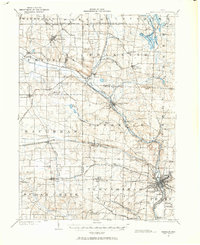
1901 Map of Massillon
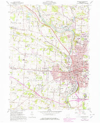
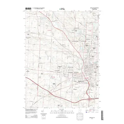
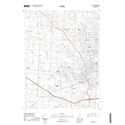
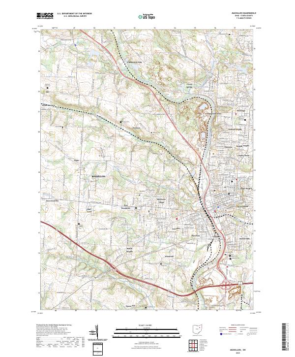
USGS Topo · Published 1963About this map
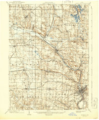
The Ohio and Erie Canal follows the winding course of the Tuscarawas River south through this 1901 survey, illustrating a landscape defined by 19th-century transit and extraction. This Stark County corridor shows the heavy industrialization of Massillon at a time when the Electric R. R. and the Pennsylvania System were supplanting the older canal economy. To the north, the Portage Lakes including Rex Lake and Turkeyfoot Lake are clearly delineated near the South Boundary Connecticut Reserve, a critical line for local land titles. Substantial coal mining operations are marked at the Turkeyfoot Mine and Eureka Mine, while the Insane Asylum stands on the outskirts of the primary settlement. The map serves as a vital record for genealogists tracing ancestors in rail stops like Canal Fulton, Doylestown, and North Lawrence.
Find a feature on this map
81 named features on this map. Tap any name to fly to it.
Don’t see what you’re looking for? This feature index may not catch every label — zoom into the map to look around manually.
Map Details
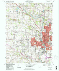
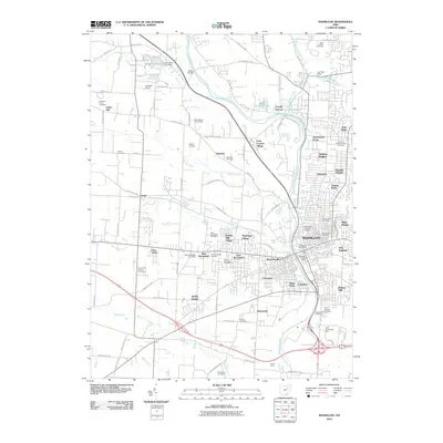
Editions of this 1901 Massillon Map
2 editions found

Historical Maps of Akron Through Time
9 maps found