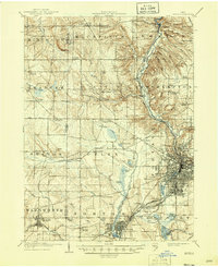
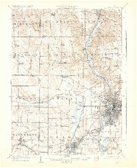
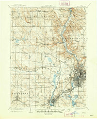
1905 Map of Akron
USGS Topo · Published 1946About this map
The Ohio and Erie Canal cuts a historic path through the Cuyahoga Valley in this survey of the northern Ohio industrial corridor, showing a landscape defined by water and rail. The urban core of Akron is depicted in detail, featuring the Glendale Cemetery and the clustering of transport infrastructure around Summit Lake and Nesmith Lake. To the south, Barberton shows its early industrial footprint near Chemical Pond and the Barberton Belt Line.
Find a feature on this map
93 named features on this map. Tap any name to fly to it.
Don’t see what you’re looking for? This feature index may not catch every label — zoom into the map to look around manually.
Map Details
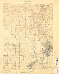
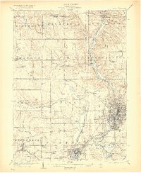
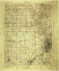
Editions of this 1905 Akron Map
7 editions found

Other maps of this area

1901 · Massillon
USGS Topo · 1:62,500

1901 · Canton
USGS Topo · 1:62,500

1901 · Wooster
USGS Topo · 1:62,500

1902 · Berea
USGS Topo · 1:62,500

1903 · Massillon
USGS Topo · 1:62,500

1903 · Wooster
USGS Topo · 1:62,500

1903 · Cleveland
USGS Topo · 1:62,500

1903 · Canton
USGS Topo · 1:62,500

1903 · Akron
USGS Topo · 1:62,500

1904 · Berea
USGS Topo · 1:62,500