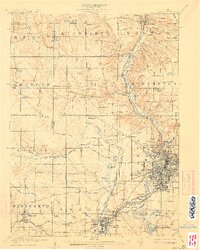
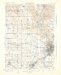
1905 Map of Akron
USGS Topo · Published 1911About this map
Akron sits at the center of a dense industrial and transport network, serving as a hub for both the Ohio and Erie Canal and numerous rail lines like the Erie Railroad and Akron and Barberton Belt RR. The map illustrates the region's transition from early canal-era infrastructure, including Deep Lock and Pancake Lock along the Cuyahoga River, to a booming manufacturing center. Surrounding townships like Copley, Norton, and Northampton show a landscape dotted with small settlements such as Ghent and Ellis Corners Montrose PO.
Find a feature on this map
93 named features on this map. Tap any name to fly to it.
Don’t see what you’re looking for? This feature index may not catch every label — zoom into the map to look around manually.
Map Details
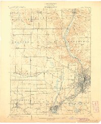
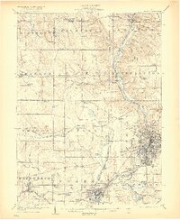
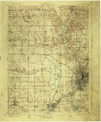
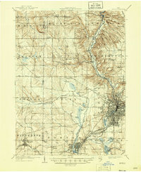
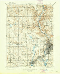
Editions of this 1905 Akron Map
7 editions found
Other maps of this area

1901 · Massillon
USGS Topo · 1:62,500

1901 · Canton
USGS Topo · 1:62,500

1901 · Wooster
USGS Topo · 1:62,500

1902 · Berea
USGS Topo · 1:62,500

1903 · Massillon
USGS Topo · 1:62,500
1903 · Wooster
USGS Topo · 1:62,500

1903 · Cleveland
USGS Topo · 1:62,500

1903 · Canton
USGS Topo · 1:62,500

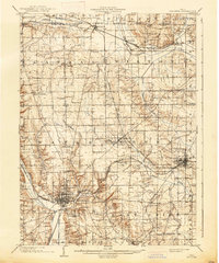
1903 · Akron
USGS Topo · 1:62,500

1904 · Berea
USGS Topo · 1:62,500