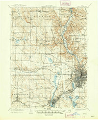
1905 Map of Akron
USGS Topo · Published 1948About this map
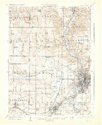
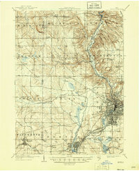
Akron serves as the industrial and commercial anchor of this early twentieth-century landscape, where the confluence of rail and water transport defined regional growth. The Ohio and Erie Canal runs parallel to the Cuyahoga River, marked by engineering features like Deep Lock and Pancake Lock near the settlement of Peninsula. This waterway, once a primary artery for trade, appears here alongside a maturing rail network including the Erie Railroad and the Akron and Barberton Belt Line, illustrating the era's shift toward steam power.
Find a feature on this map
101 named features on this map. Tap any name to fly to it.
Don’t see what you’re looking for? This feature index may not catch every label — zoom into the map to look around manually.
Map Details
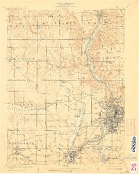
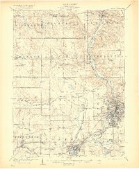
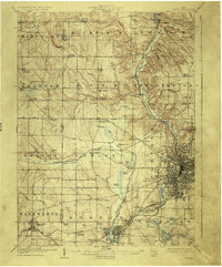
Editions of this 1905 Akron Map
7 editions found

Other maps of this area

1901 · Massillon
USGS Topo · 1:62,500

1901 · Canton
USGS Topo · 1:62,500

1901 · Wooster
USGS Topo · 1:62,500

1902 · Berea
USGS Topo · 1:62,500

1903 · Massillon
USGS Topo · 1:62,500

1903 · Wooster
USGS Topo · 1:62,500

1903 · Cleveland
USGS Topo · 1:62,500

1903 · Canton
USGS Topo · 1:62,500

1903 · Akron
USGS Topo · 1:62,500

1904 · Berea
USGS Topo · 1:62,500