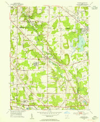
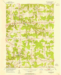
1953 Map of Twinsburg
USGS Topo · Published 1955About this map
Tinkers Creek winds through this landscape, carving a valley that serves as the central corridor for the New York Chicago and St Louis RR. This mid-century survey reveals a transition from traditional agriculture to a burgeoning recreational and transit-oriented corridor. The presence of the Solon Airport and Miller Landing Field alongside the Ohio Turnpike—labeled as under construction—illustrates the rapid development of northeastern Ohio's infrastructure. To the south, the Cleveland Boys Sch and Crown Hill Cemetery stand as significant institutional landmarks. Leisure culture is well-established near the county lines, evidenced by the Grantwood Golf Club, Grandview Track, and the Lake Forest Country Club. Smaller settlements like Falls Junction, Glenwillow, and Geauga Lake anchor the rail lines, while the expanding footprint of Twinsburg marks the center of the sheet.
Find a feature on this map
67 named features on this map. Tap any name to fly to it.
Don’t see what you’re looking for? This feature index may not catch every label — zoom into the map to look around manually.
Map Details
Editions of this 1953 Twinsburg Map
This is the sole edition of this map. No revisions or reprints were ever made.
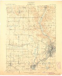
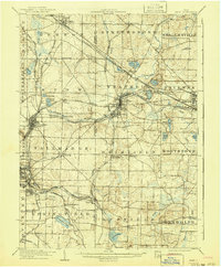
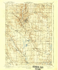
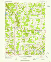
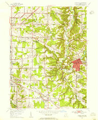
Other maps of this area

1903 · Cleveland
USGS Topo · 1:62,500

1903 · Akron
USGS Topo · 1:62,500
1905 · Akron
USGS Topo · 1:62,500
1906 · Kent
USGS Topo · 1:62,500

1906 · Chagrin Falls
USGS Topo · 1:62,500
1908 · Chagrin Falls
USGS Topo · 1:62,500

1950 · Cleveland
USGS Topo · 1:250,000
1953 · South Russell
USGS Topo · 1:24,000
1953 · Aurora
USGS Topo · 1:24,000
1953 · Chagrin Falls
USGS Topo · 1:24,000