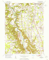
1953 Map of Northfield
USGS Topo · Published 1955About this map
The Cuyahoga River carves a deep valley through this landscape, marking the transition between the rolling uplands of Sagamore Hills and the industrial corridors of the early 1950s. This era shows the massive infrastructure of the Ohio Turnpike under construction near Boston, signaling a shift toward modern highway transport while the valley floor remains dominated by long-established rail lines. The Baltimore and Ohio, New York Central, and Pennsylvania railroads crisscross the quadrangle, serving small industrial pockets like the paper-milling community at Jaite.
Find a feature on this map
56 named features on this map. Tap any name to fly to it.
Don’t see what you’re looking for? This feature index may not catch every label — zoom into the map to look around manually.
Map Details
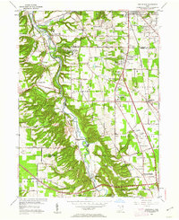
Editions of this 1953 Northfield Map
2 editions found
Other maps of this area

1903 · Cleveland
USGS Topo · 1:62,500

1903 · Akron
USGS Topo · 1:62,500

1905 · Akron
USGS Topo · 1:62,500

1906 · Kent
USGS Topo · 1:62,500

1906 · Chagrin Falls
USGS Topo · 1:62,500

1908 · Chagrin Falls
USGS Topo · 1:62,500

1950 · Cleveland
USGS Topo · 1:250,000

1953 · Chagrin Falls
USGS Topo · 1:24,000

1953 · Shaker Heights
USGS Topo · 1:24,000

1953 · Broadview Heights
USGS Topo · 1:24,000