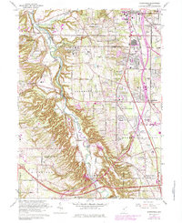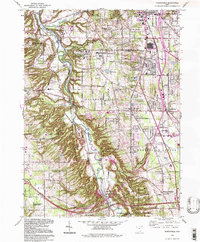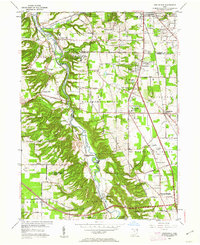
1953 Map of Northfield
USGS Topo · Published 1962About this map
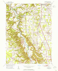
The Cuyahoga River carves a deep valley through this northern Ohio landscape, flanked by the steep terrain of the Brecksville Reservation and Bedford Reservation. This era shows a community in mid-century transition, where established towns like Northfield and Macedonia began to interface with new transportation infrastructure, most notably the Ohio Turnpike cutting across the southern portion near Boston Heights. The industrial and social character of the valley is evident in the presence of the Baltimore and Ohio railroad following the river, while the Hawthornden State Hospital occupies a significant site overlooking the water.
Find a feature on this map
49 named features on this map. Tap any name to fly to it.
Don’t see what you’re looking for? This feature index may not catch every label — zoom into the map to look around manually.
Map Details
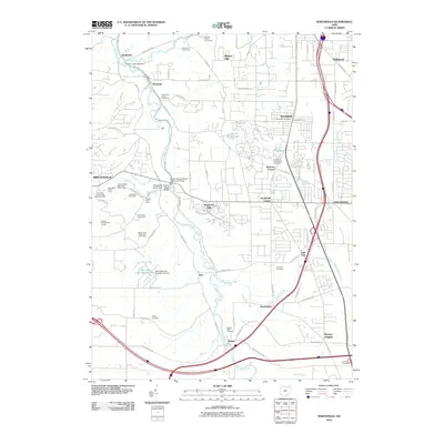
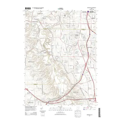
Editions of this 1953 Northfield Map
2 editions found
Historical Maps of Brecksville Through Time
8 maps found