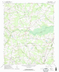
2022 Map of Drake
USGS Topo · Published 2022About this map
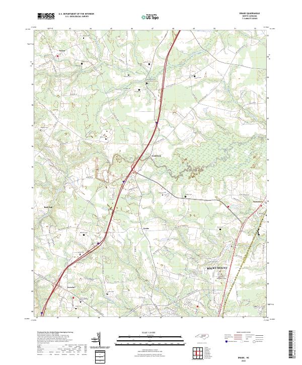
The rolling agricultural landscape of Nash County is defined by the headwaters of Swift Creek and its many tributaries, including Black Swamp and Beaverdam Swamp. This 2022 survey captures the modern interface between longstanding rural communities like Salem, Gold Rock, and Dortches and the expanding northern edge of Rocky Mount. The map provides significant detail for genealogists, documenting numerous family-named burial grounds such as Robinson Cem, Manns Cem, and Dozier Cem scattered throughout the countryside. Higher education is represented by the campus of North Carolina Wesleyan College near the Nash and Edgecombe county line. Small-scale water features like Braswells Lake and Fenners Pond punctuate the drainage basins of Compass Cr and Hornbeam Br, illustrating the area's intricate hydrological network that has influenced local settlement patterns for generations.
Find a feature on this map
104 named features on this map. Tap any name to fly to it.
Don’t see what you’re looking for? This feature index may not catch every label — zoom into the map to look around manually.
Map Details
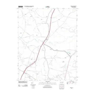
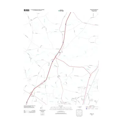
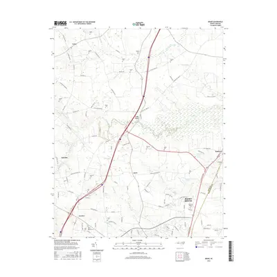
Editions of this 2022 Drake Map
This is the sole edition of this map. No revisions or reprints were ever made.
Historical Maps of Rocky Mount Through Time
7 maps found