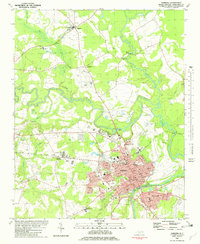
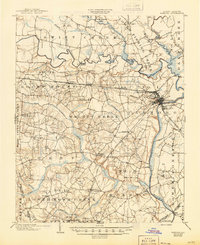
1903 Map of Tarboro
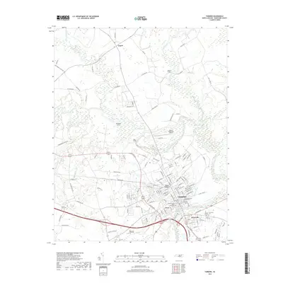
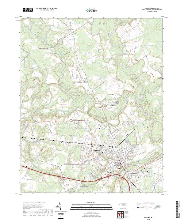
USGS Topo · Published 1935About this map
Tarboro and Princeville anchor this early 20th-century landscape, positioned at a critical transition point where the Tar River supported a defined Steamboat Route. The settlement pattern follows the drainage of the coastal plain, with small hamlets like Wrendale, Pinetops, and Runnymede linked by a developing rail network that includes the Atlantic Coast Line and the Norfolk & Carolina R. R. The importance of water management and local milling is evident in the naming of features such as the Cromwell Canal, Sasnett Mill Swamp, and Bynums Mill Creek.
Find a feature on this map
76 named features on this map. Tap any name to fly to it.
Don’t see what you’re looking for? This feature index may not catch every label — zoom into the map to look around manually.
Map Details
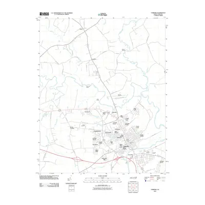
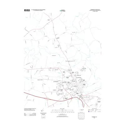
Editions of this 1903 Tarboro Map
2 editions found
Historical Maps of Rocky Mount Through Time
8 maps found