Loading...
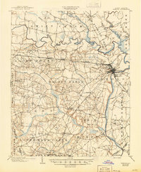
Loading map...1903 Map of Tarboro
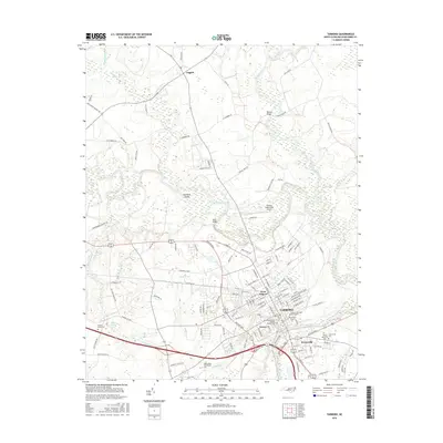
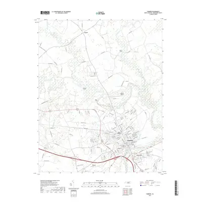
USGS Topo · Published 1945About this map
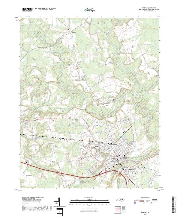
The Tar River serves as the central artery for this Edgecombe County landscape, winding past the established seat of Tarboro and the neighboring community of Princeville. At the turn of the century, the region was defined by its intricate drainage network, with Swift Creek, Walnut Creek, and Deep Creek feeding the river through numerous swamps and runs. The distribution of small settlements like Pinetops, Old Sparta, and Macclesfield reflects a rural economy deeply tied to the land and the emerging rail lines.
Find a feature on this map
76 named features on this map. Tap any name to fly to it.
Don’t see what you’re looking for? This feature index may not catch every label — zoom into the map to look around manually.
Map Details
Date Portrayed1903
Date Published1945
PublisherU.S. Geological Survey
Map TypeTopographic
Scale1:62,500
Physical Dimensions16.9 x 20.7 inches
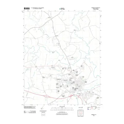
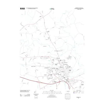
Editions of this 1903 Tarboro Map
2 editions found

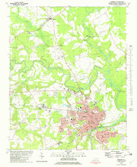
Historical Maps of Rocky Mount Through Time
8 maps found

Featured Locations
Source Details
SourceU.S. Geological Survey
CopyrightPublic Domain