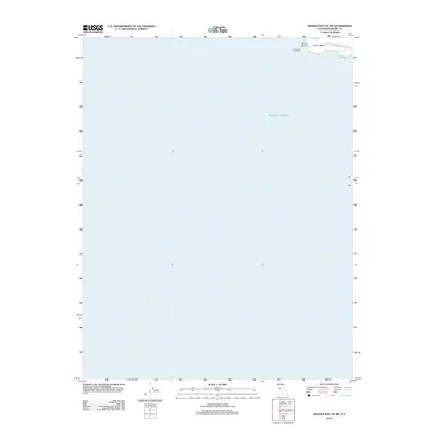
2012 Map of Drakes Bay OE SW
USGS Topo · Published 2012About this map
Point Reyes serves as the focal point of this coastal survey, where the terrestrial edge of Marin County meets the vast expanse of the Pacific Ocean. This map documents a small but significant fraction of land at the extreme tip of the peninsula, centered around the Point Reyes Lighthouse and its immediate surroundings. The terrain here is defined by stark coastal landmarks such as the Sea Lion Overlook and Sea Lion Cove, which are connected to the mainland via Point Reyes Lighthouse Rd. Because the majority of the quadrangle covers open water, the map provides a precise look at the specific maritime infrastructure and natural outcrops that define one of the most prominent headlands on the California coast.
Find a feature on this map
6 named features on this map. Tap any name to fly to it.
Don’t see what you’re looking for? This feature index may not catch every label — zoom into the map to look around manually.
Map Details
Editions of this 2012 Drakes Bay OE SW Map
This is the sole edition of this map. No revisions or reprints were ever made.
Other maps of this area

1916 · Point Reyes
USGS Topo · 1:48,000

1918 · Point Reyes
USGS Topo · 1:62,500

1947 · Santa Rosa
USGS Topo · 1:250,000

1947 · San Francisco
USGS Topo · 1:250,000

1948 · San Francisco
USGS Topo · 1:250,000

1949 · Santa Rosa
USGS Topo · 1:250,000

1953 · Drakes Bay
USGS Topo · 1:24,000
1954 · Point Reyes
USGS Topo · 1:62,500

1955 · San Francisco
USGS Topo · 1:250,000

1956 · San Francisco
USGS Topo · 1:250,000