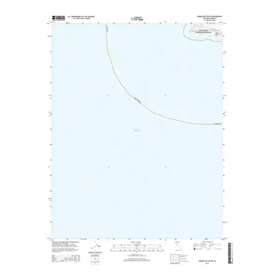
2015 Map of Drakes Bay OE SW
USGS Topo · Published 2015About this map
Point Reyes anchors the northern edge of this coastal survey, where the rugged peninsula extends into the Pacific Ocean. Most of the charted area is dedicated to the vast maritime expanse off the coast of Marin County, illustrating the offshore boundaries of Point Reyes National Seashore. On the small portion of land visible, Sir Francis Drake Blvd winds toward the headlands, providing the primary access route for this protected wilderness. The map captures the meeting of land and sea in an era of preserved natural heritage, focusing on the preservation of this specific California coastline before the terrain drops away into deep ocean waters.
Find a feature on this map
6 named features on this map. Tap any name to fly to it.
Don’t see what you’re looking for? This feature index may not catch every label — zoom into the map to look around manually.
Map Details
Editions of this 2015 Drakes Bay OE SW Map
This is the sole edition of this map. No revisions or reprints were ever made.
Other maps of this area

1916 · Point Reyes
USGS Topo · 1:48,000

1918 · Point Reyes
USGS Topo · 1:62,500

1947 · Santa Rosa
USGS Topo · 1:250,000

1947 · San Francisco
USGS Topo · 1:250,000

1948 · San Francisco
USGS Topo · 1:250,000

1949 · Santa Rosa
USGS Topo · 1:250,000

1953 · Drakes Bay
USGS Topo · 1:24,000
1954 · Point Reyes
USGS Topo · 1:62,500

1955 · San Francisco
USGS Topo · 1:250,000

1956 · San Francisco
USGS Topo · 1:250,000