Loading...
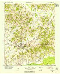
Loading map...1952 Map of Dresden
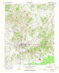
USGS Topo · Published 1985About this map
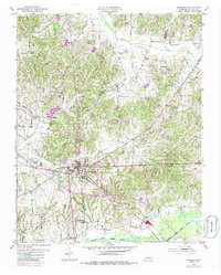
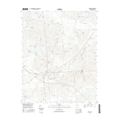
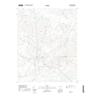
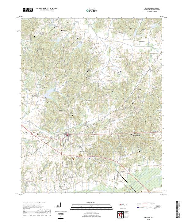
Dresden serves as the focal point of this Weakley County landscape, situated at the intersection of regional roads and the Seaboard rail line. The terrain is defined by the valley of the Middle Fork Obion River to the south and Cypress Creek to the north, with numerous small waterways like Mud Creek and Strawberry Branch dissecting the low hills. The rural character of the mid-20th century is evident in the dense network of family-named cemeteries and small community churches, such as Pleasant Hill Ch and Siloam Ch.
Find a feature on this map
54 named features on this map. Tap any name to fly to it.
Don’t see what you’re looking for? This feature index may not catch every label — zoom into the map to look around manually.
Map Details
Date Portrayed1952
Date Published1985
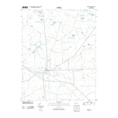
PublisherU.S. Geological Survey
Map TypeTopographic
Scale1:24,000
Physical Dimensions22 x 27.5 inches
Editions of this 1952 Dresden Map
3 editions found
Historical Maps of Dresden Through Time
6 maps found

Featured Locations
Source Details
SourceU.S. Geological Survey
CopyrightPublic Domain