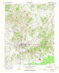
1952 Map of Dresden
USGS Topo · Published 1981About this map
The county seat of Dresden (BM 425) serves as the hub of this Weakley County landscape, defined by its position at the intersection of the Louisville and Nashville railroad and a network of small agricultural settlements. The terrain is intricately carved by dozens of watercourses, including Mud Creek and Cypress Creek, which feed into the Middle Fork Obion River along the southern edge. The map captures a transition period where traditional rural landmarks like McLain Chapel and Grove Hill Ch remain prominent, even as purple photorevisions from the late 1970s indicate the expansion of local road networks and ponds.
Find a feature on this map
59 named features on this map. Tap any name to fly to it.
Don’t see what you’re looking for? This feature index may not catch every label — zoom into the map to look around manually.
Map Details
Editions of this 1952 Dresden Map
3 editions found
Other maps of this area

1950 · Martin
USGS Topo · 1:24,000

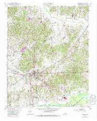
1952 · Dresden
USGS Topo · 1:24,000

1954 · Greenfield
USGS Topo · 1:24,000

1956 · Mc Connell
USGS Topo · 1:24,000

1956 · Latham
USGS Topo · 1:24,000
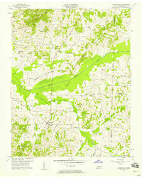
1956 · Palmersville
USGS Topo · 1:24,000

1956 · Dyersburg
USGS Topo · 1:250,000

1957 · Como
USGS Topo · 1:24,000

1967 · Pillowville
USGS Topo · 1:24,000
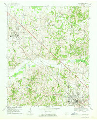
1967 · Mc Kenzie
USGS Topo · 1:24,000