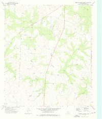
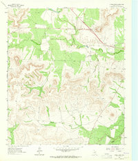
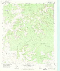
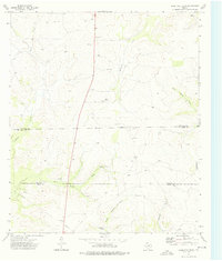
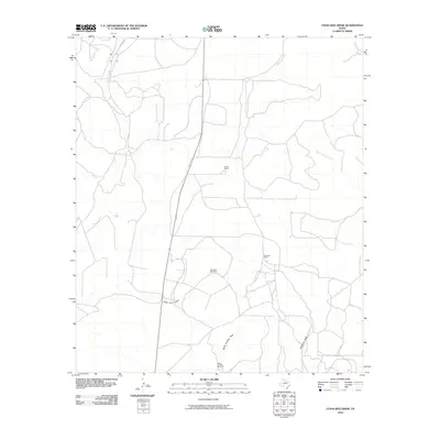
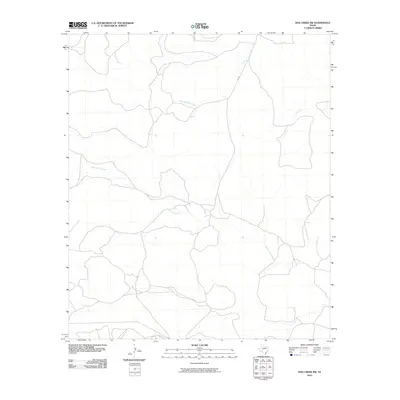
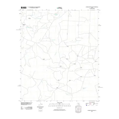
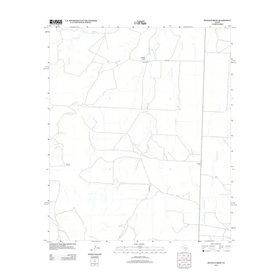
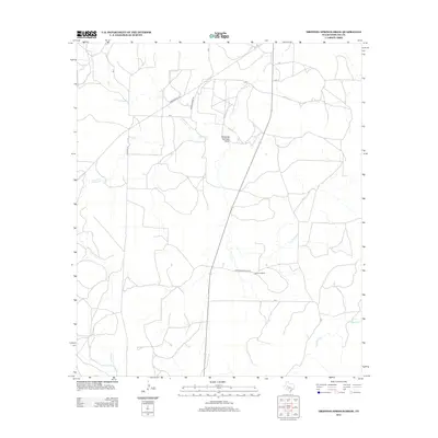
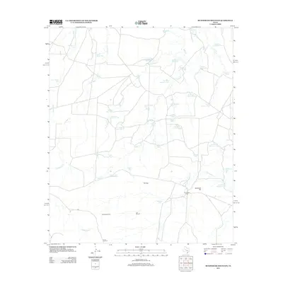
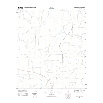
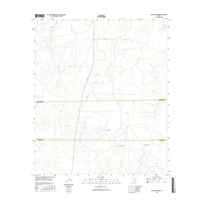
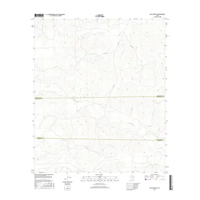
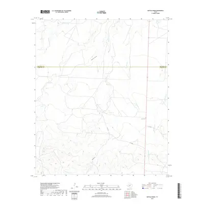
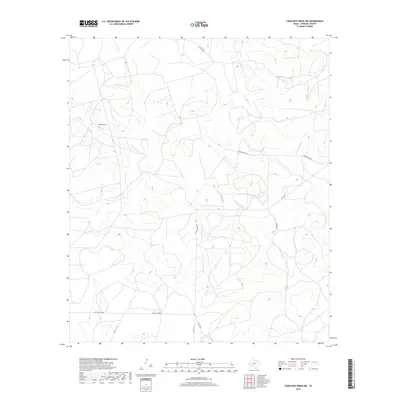
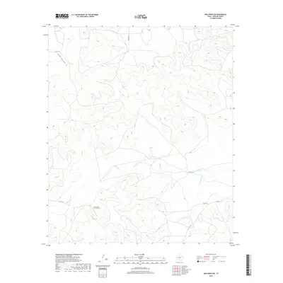
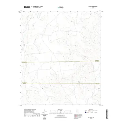
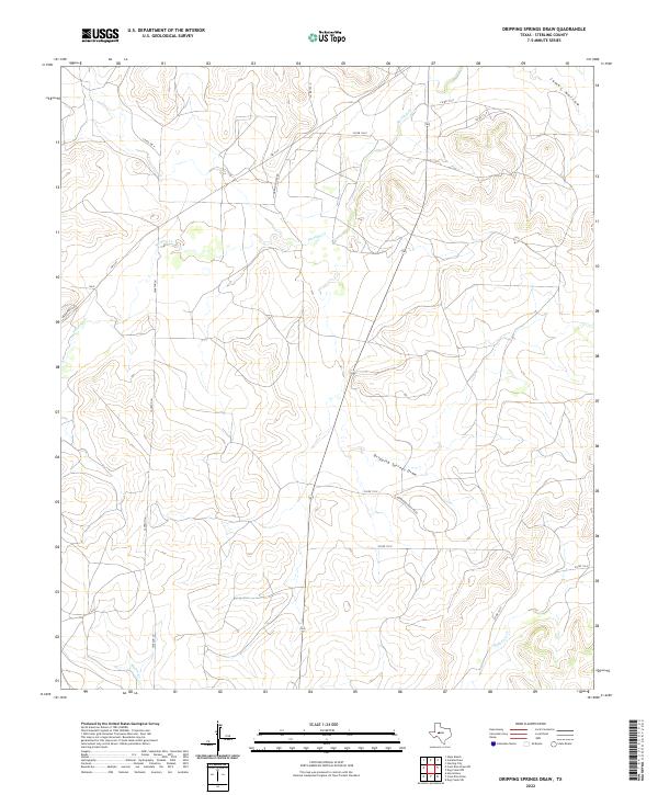
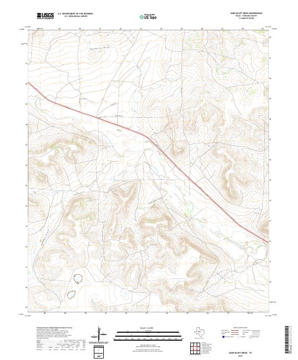
1973 Map of Dripping Springs Draw
USGS Topo · Published 1976About this map
Sterling Creek and Dripping Springs Draw define the drainage patterns of this high plains landscape in Sterling County during the early 1970s. The map reveals an economy deeply tied to both ranching and mineral extraction, with the Santa Fe Ranch anchoring the local settlement and numerous Gas Wells, Oil Wells, and Gravel Pits scattered across the terrain.
Find a feature on this map
15 named features on this map. Tap any name to fly to it.
Don’t see what you’re looking for? This feature index may not catch every label — zoom into the map to look around manually.
Map Details
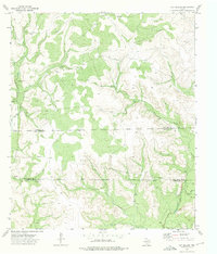
Editions of this 1973 Dripping Springs Draw Map
This is the sole edition of this map. No revisions or reprints were ever made.
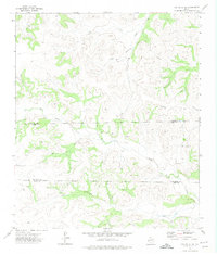
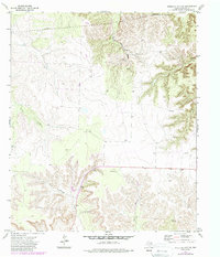
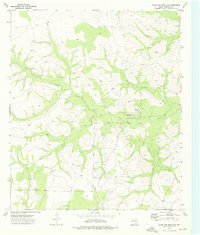
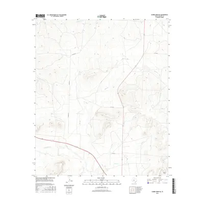
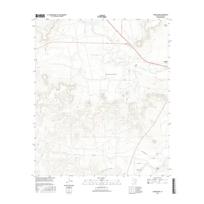
Historical Maps of Sterling County Through Time
84 maps found
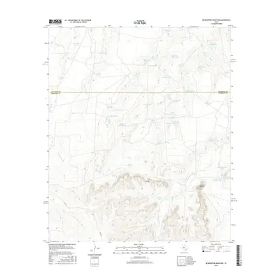
1959 McWhorter Mountain
Sterling County, TX
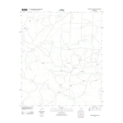
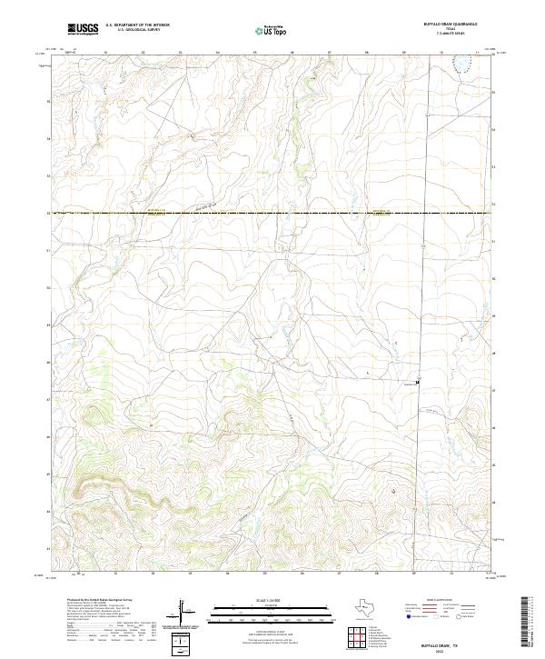
1963 Buffalo Draw
Sterling County, TX
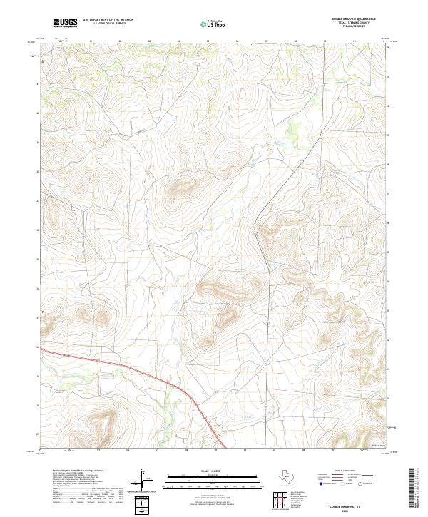
1963 Cumbie Draw NE
Sterling County, TX
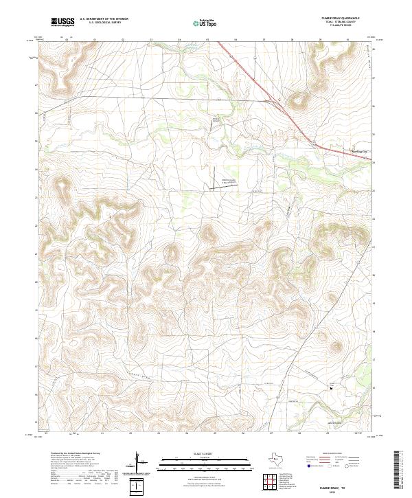
1963 Cumbie Draw
Sterling County, TX
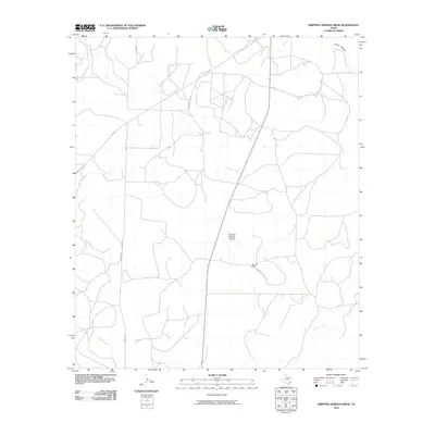
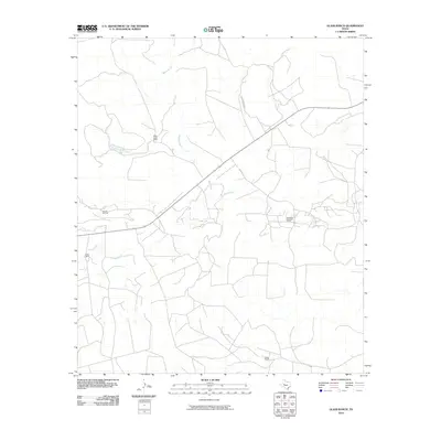
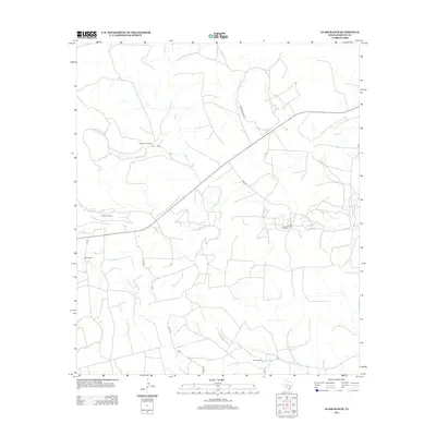
1963 Glass Ranch
Sterling County, TX
1963 Hayrick Mountain
Sterling County, TX
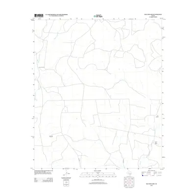
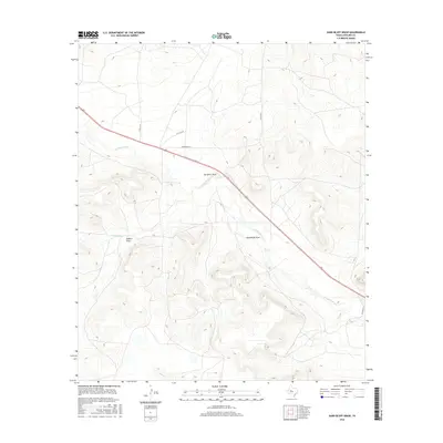
1963 Sand Bluff Draw
Sterling County, TX
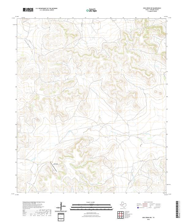
1972 Dog Creek NW
Sterling County, TX
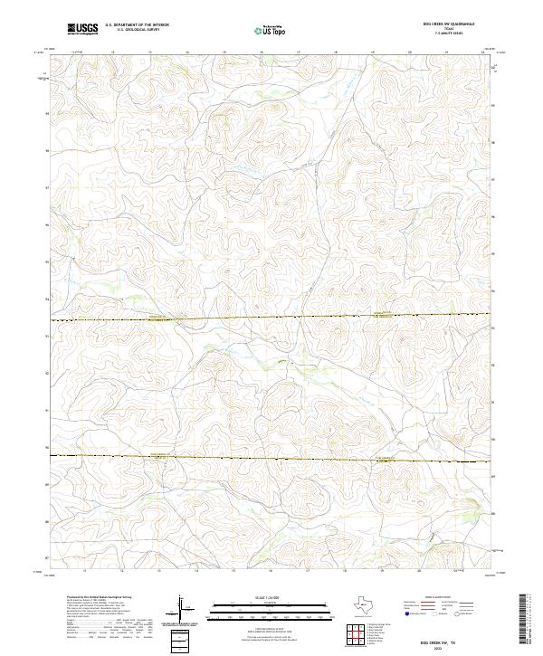
1972 Dog Creek SW
Sterling County, TX
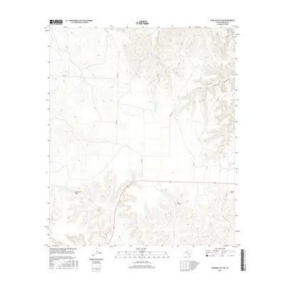
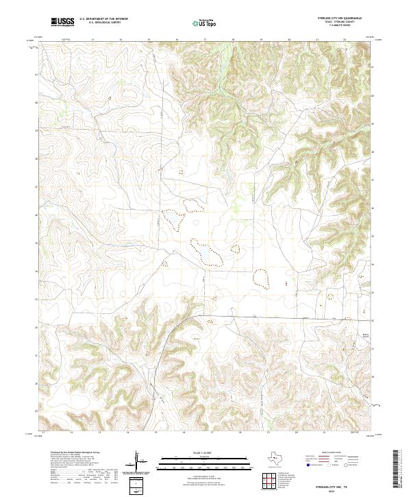
1972 Sterling City NW
Sterling County, TX
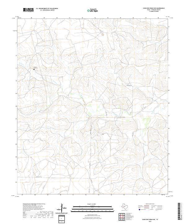
1973 Coon Dive Draw NW
Sterling County, TX
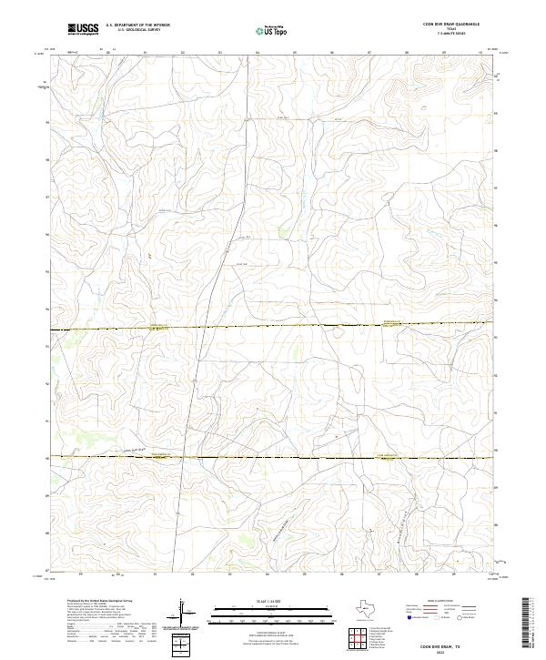
1973 Coon Dive Draw
Sterling County, TX
1973 Dripping Springs Draw
Sterling County, TX
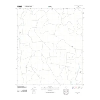
1973 Hay Hollow
Sterling County, TX
2010 Buffalo Draw
Sterling County, TX
2010 Coon Dive Draw NW
Sterling County, TX
2010 Coon Dive Draw
Sterling County, TX
2010 Cumbie Draw NE
Sterling County, TX
2010 Cumbie Draw
Sterling County, TX
2010 Dog Creek NW
Sterling County, TX
2010 Dog Creek SW
Sterling County, TX
2010 Dripping Springs Draw
Sterling County, TX
2010 Glass Ranch
Sterling County, TX
2010 Hay Hollow
Sterling County, TX
2010 Hayrick Mountain
Sterling County, TX
2010 McWhorter Mountain
Sterling County, TX
2010 Sand Bluff Draw
Sterling County, TX
2010 Sterling City NW
Sterling County, TX
2012 Buffalo Draw
Sterling County, TX
2012 Coon Dive Draw NW
Sterling County, TX
2012 Dog Creek NW
Sterling County, TX
2012 Dog Creek SW
Sterling County, TX
2012 Dripping Springs Draw
Sterling County, TX
2012 Glass Ranch
Sterling County, TX
2012 Hay Hollow
Sterling County, TX
2012 Hayrick Mountain
Sterling County, TX
2012 McWhorter Mountain
Sterling County, TX
2012 Sand Bluff Draw
Sterling County, TX
2012 Sterling City NW
Sterling County, TX
2013 Coon Dive Draw
Sterling County, TX
2013 Cumbie Draw NE
Sterling County, TX
2013 Cumbie Draw
Sterling County, TX
2016 Buffalo Draw
Sterling County, TX
2016 Coon Dive Draw NW
Sterling County, TX
2016 Coon Dive Draw
Sterling County, TX
2016 Cumbie Draw NE
Sterling County, TX
2016 Cumbie Draw
Sterling County, TX
2016 Dog Creek NW
Sterling County, TX
2016 Dog Creek SW
Sterling County, TX
2016 Dripping Springs Draw
Sterling County, TX

2016 Glass Ranch
Sterling County, TX
2016 Hay Hollow
Sterling County, TX
2016 Hayrick Mountain
Sterling County, TX
2016 McWhorter Mountain
Sterling County, TX
2016 Sand Bluff Draw
Sterling County, TX
2016 Sterling City NW
Sterling County, TX
2019 Buffalo Draw
Sterling County, TX
2019 Coon Dive Draw NW
Sterling County, TX
2019 Coon Dive Draw
Sterling County, TX
2019 Cumbie Draw NE
Sterling County, TX
2019 Cumbie Draw
Sterling County, TX
2019 Dog Creek NW
Sterling County, TX
2019 Dog Creek SW
Sterling County, TX
2019 Dripping Springs Draw
Sterling County, TX
2019 Glass Ranch
Sterling County, TX
2019 Hay Hollow
Sterling County, TX
2019 Hayrick Mountain
Sterling County, TX
2019 McWhorter Mountain
Sterling County, TX
2019 Sand Bluff Draw
Sterling County, TX

2019 Sterling City NW
Sterling County, TX
2022 Buffalo Draw
Sterling County, TX
2022 Coon Dive Draw NW
Sterling County, TX
2022 Coon Dive Draw
Sterling County, TX
2022 Cumbie Draw NE
Sterling County, TX
2022 Cumbie Draw
Sterling County, TX
2022 Dog Creek NW
Sterling County, TX
2022 Dog Creek SW
Sterling County, TX
2022 Dripping Springs Draw
Sterling County, TX
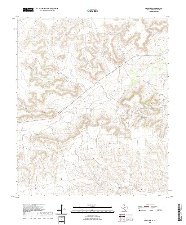
2022 Glass Ranch
Sterling County, TX
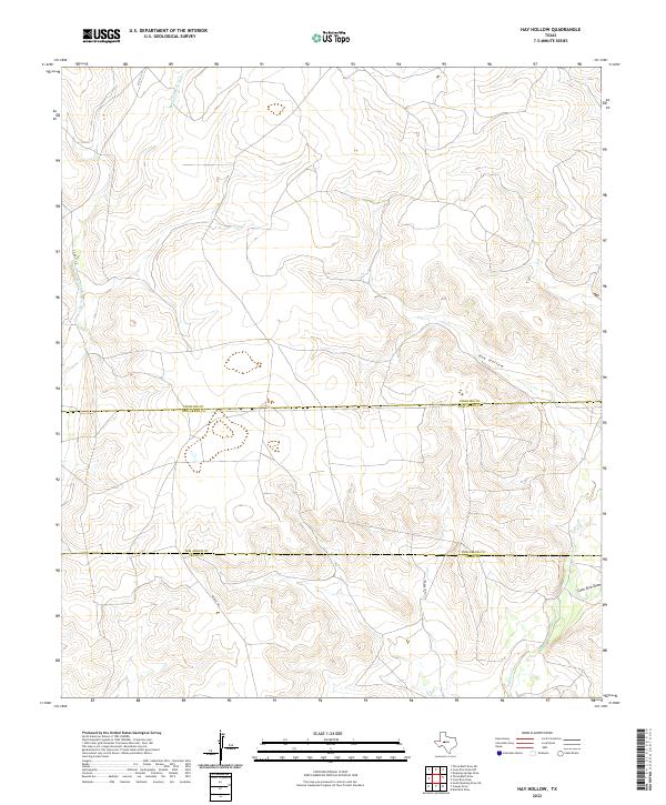
2022 Hay Hollow
Sterling County, TX
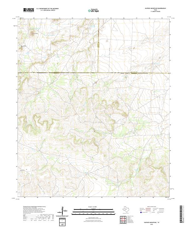
2022 Hayrick Mountain
Sterling County, TX
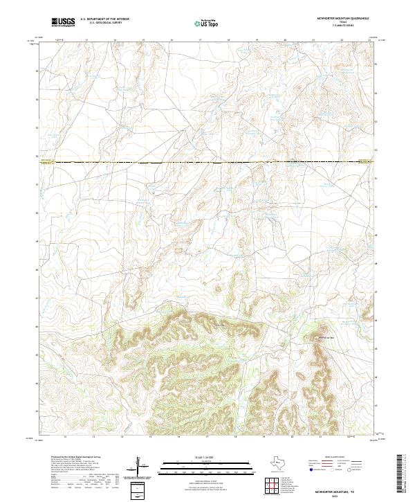
2022 McWhorter Mountain
Sterling County, TX
2022 Sand Bluff Draw
Sterling County, TX
2022 Sterling City NW
Sterling County, TX