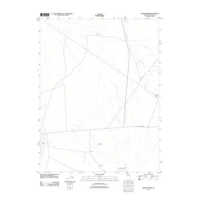
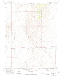
2011 Map of Drumm Summit
USGS Topo · Published 2011About this map
Fairview and its surrounding desert landscape are defined by the convergence of mining history and water management in Churchill County. The terrain is marked by significant topographical features such as Dromedary Hump and Drumm Summit, where the primary transport corridor of Route 50 cuts through the basin. Evidence of the area's industrial and social past is preserved through the Dromedary Mill and the Fairview Cemetery, providing specific points of interest for those tracing the development of this arid region.
Find a feature on this map
14 named features on this map. Tap any name to fly to it.
Don’t see what you’re looking for? This feature index may not catch every label — zoom into the map to look around manually.
Map Details
Editions of this 2011 Drumm Summit Map
This is the sole edition of this map. No revisions or reprints were ever made.
Other maps of this area

1908 · Carson Sink
USGS Topo · 1:250,000

1910 · Carson Sink
USGS Topo · 1:250,000

1957 · Reno
USGS Topo · 1:250,000

1959 · Reno
USGS Topo · 1:250,000

1960 · Reno
USGS Topo · 1:250,000
1972 · Bell Mountain
USGS Topo · 1:24,000

1972 · Pirouette Mtn
USGS Topo · 1:24,000
1972 · Wonder Mountain
USGS Topo · 1:24,000
1972 · Bell Canyon
USGS Topo · 1:24,000
1972 · West Gate
USGS Topo · 1:24,000