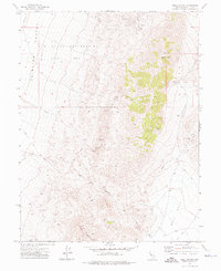
1972 Map of Bell Canyon
USGS Topo · Published 1975About this map
Nevada Hills Mine and a cluster of nearby claims define this industrial landscape in the 1970s, where mining operations like the Mizpah Mine and Bluff Mine were established amidst the complex fault lines of the Fairview Peak area. The eastern portion of the map is dominated by high terrain including Fairview Peak and Slate Mountain, while the western flats of Fairview Valley are marked as a restricted U S Naval Reservation (Target Area).
Find a feature on this map
25 named features on this map. Tap any name to fly to it.
Don’t see what you’re looking for? This feature index may not catch every label — zoom into the map to look around manually.
Map Details
Editions of this 1972 Bell Canyon Map
2 editions found
Other maps of this area

1908 · Carson Sink
USGS Topo · 1:250,000

1910 · Carson Sink
USGS Topo · 1:250,000

1957 · Reno
USGS Topo · 1:250,000

1959 · Reno
USGS Topo · 1:250,000

1960 · Reno
USGS Topo · 1:250,000
1972 · Bell Mountain
USGS Topo · 1:24,000
1972 · Slate Mtn
USGS Topo · 1:24,000
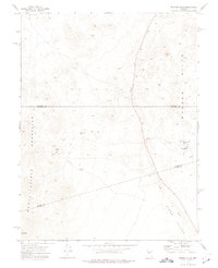
1972 · Broken Hills
USGS Topo · 1:24,000
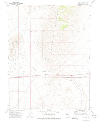
1972 · West Gate
USGS Topo · 1:24,000
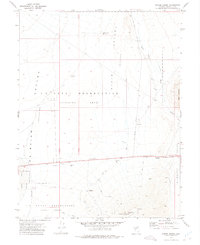
1972 · Drumm Summit
USGS Topo · 1:24,000