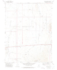
1972 Map of Drumm Summit
USGS Topo · Published 1975About this map
Fairview Valley and the neighboring Dixie Valley comprise a landscape of shifting purpose in the early 1970s. The former township of Fairview is marked as a site, situated near a Cem and evidence of previous mineral interest at the Dromedary Hump Mine. This area is defined by its transition from old mining and ranching foundations to military utility, as much of the basin is occupied by the U S Naval Reservation (Training Area) and a corresponding target area to the south.
Find a feature on this map
25 named features on this map. Tap any name to fly to it.
Don’t see what you’re looking for? This feature index may not catch every label — zoom into the map to look around manually.
Map Details
Editions of this 1972 Drumm Summit Map
2 editions found
Other maps of this area

1908 · Carson Sink
USGS Topo · 1:250,000

1910 · Carson Sink
USGS Topo · 1:250,000

1957 · Reno
USGS Topo · 1:250,000

1959 · Reno
USGS Topo · 1:250,000

1960 · Reno
USGS Topo · 1:250,000
1972 · Bell Mountain
USGS Topo · 1:24,000

1972 · Pirouette Mtn
USGS Topo · 1:24,000
1972 · Wonder Mountain
USGS Topo · 1:24,000
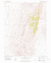
1972 · Bell Canyon
USGS Topo · 1:24,000
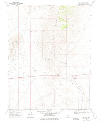
1972 · West Gate
USGS Topo · 1:24,000