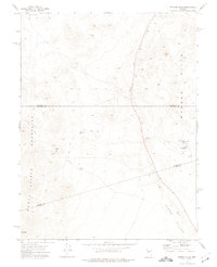
1972 Map of Broken Hills
USGS Topo · Published 1975About this map
Broken Hills (Site) sits at the convergence of three county lines in the Nevada desert, serving as the central point of this early 1970s topographical record. The landscape is defined by the Monte Cristo Mountains and the namesake Broken Hills range, where industrial extraction is evident through the Broken Hills Mine and the Kaiser Mine. The presence of an Aqueduct and water sources like Kaiser Well highlight the critical infrastructure required for desert operations and mining activity during this era.
Find a feature on this map
19 named features on this map. Tap any name to fly to it.
Don’t see what you’re looking for? This feature index may not catch every label — zoom into the map to look around manually.
Map Details
Editions of this 1972 Broken Hills Map
2 editions found
Other maps of this area

1907 · Tonopah
USGS Topo · 1:250,000

1908 · Tonopah
USGS Topo · 1:250,000

1908 · Carson Sink
USGS Topo · 1:250,000

1909 · Hawthorne
USGS Topo · 1:250,000

1910 · Carson Sink
USGS Topo · 1:250,000

1911 · Hawthorne
USGS Topo · 1:250,000

1915 · Hawthorne
USGS Topo · 1:250,000

1948 · Paradise Peak
USGS Topo · 1:62,500

1948 · Walker Lake
USGS Topo · 1:250,000

1950 · Paradise Peak
USGS Topo · 1:62,500