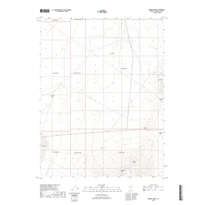
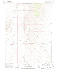
2018 Map of Drumm Summit
USGS Topo · Published 2018About this map
Fairview Valley and Dixie Valley converge in this high-desert landscape of Churchill County, dominated by the transition between massive playas and volcanic peaks. The map provides a detailed view of the terrain around Drumm Summit, where the primary roadway crosses the divide between these arid basins. To the east, the steep slopes of Chalk Mtn and the Fairview Range rise above the drainage systems of Dixie Valley Wash and Wonder Wash.
Find a feature on this map
20 named features on this map. Tap any name to fly to it.
Don’t see what you’re looking for? This feature index may not catch every label — zoom into the map to look around manually.
Map Details
Editions of this 2018 Drumm Summit Map
This is the sole edition of this map. No revisions or reprints were ever made.
Other maps of this area

1908 · Carson Sink
USGS Topo · 1:250,000

1910 · Carson Sink
USGS Topo · 1:250,000

1957 · Reno
USGS Topo · 1:250,000

1959 · Reno
USGS Topo · 1:250,000

1960 · Reno
USGS Topo · 1:250,000
1972 · Bell Mountain
USGS Topo · 1:24,000

1972 · Pirouette Mtn
USGS Topo · 1:24,000
1972 · Wonder Mountain
USGS Topo · 1:24,000
1972 · Bell Canyon
USGS Topo · 1:24,000
1972 · West Gate
USGS Topo · 1:24,000