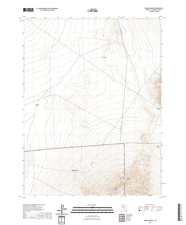
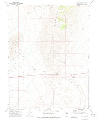
2021 Map of Drumm Summit
USGS Topo · Published 2021About this map
Fairview Cem lies at the heart of this Churchill County landscape, a lone marker of historic presence within the expansive basins of Dixie Valley and Fairview Valley. The map details a high desert environment where the flat alkali stretches of the valleys are abruptly interrupted by the Fairview Range and the distinctive silhouette of the Dromedary Hump. Transport across this arid terrain is oriented around Dixie Valley Rd, which skirts the eastern edges of the mountains near Drumm Summit. The drainage patterns, including Dixie Valley Wash and Wonder Wash, illustrate the importance of ephemeral water sources in this Great Basin setting. From the narrow transit through Sand Dune Pass to the southern reach of Stingaree Valley, the map captures a topography shaped by isolation, where the placement of a single cemetery or mountain pass like Chalk Mtn represents a significant landmark for local history and geographic orientation.
Find a feature on this map
20 named features on this map. Tap any name to fly to it.
Don’t see what you’re looking for? This feature index may not catch every label — zoom into the map to look around manually.
Map Details
Editions of this 2021 Drumm Summit Map
This is the sole edition of this map. No revisions or reprints were ever made.
Other maps of this area

1908 · Carson Sink
USGS Topo · 1:250,000

1910 · Carson Sink
USGS Topo · 1:250,000

1957 · Reno
USGS Topo · 1:250,000

1959 · Reno
USGS Topo · 1:250,000

1960 · Reno
USGS Topo · 1:250,000
1972 · Bell Mountain
USGS Topo · 1:24,000

1972 · Pirouette Mtn
USGS Topo · 1:24,000
1972 · Wonder Mountain
USGS Topo · 1:24,000
1972 · Bell Canyon
USGS Topo · 1:24,000
1972 · West Gate
USGS Topo · 1:24,000