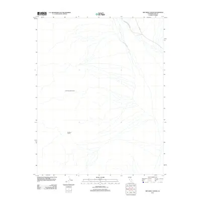
2012 Map of Dry Bone Canyon
USGS Topo · Published 2012About this map
The Cottonwood Mountains dominate the western landscape of this Inyo County terrain, where the arid environment is defined by steep relief and drainage networks. Much of this territory lies within the boundaries of Death Valley National Park, preserving a high-desert wilderness characterized by geological formations rather than human settlement. The topographic detail follows the descent from the heights of the range toward the basin, centered on the deep incision of Dry Bone Canyon. On the eastern edge of the quadrangle, the Death Valley Wash acts as the primary drainage corridor, collecting runoff from the surrounding mountain slopes. The lack of built infrastructure reflects the preservation of this area as a natural sanctuary, highlighting the undisturbed desert floor and the natural pathways carved by seasonal water flow across the alluvial fans.
Find a feature on this map
4 named features on this map. Tap any name to fly to it.
Don’t see what you’re looking for? This feature index may not catch every label — zoom into the map to look around manually.
Map Details
Editions of this 2012 Dry Bone Canyon Map
This is the sole edition of this map. No revisions or reprints were ever made.
Other maps of this area

1908 · Ballarat
USGS Topo · 1:250,000

1913 · Ballarat
USGS Topo · 1:250,000

1948 · Death Valley
USGS Topo · 1:250,000

1951 · Marble Canyon
USGS Topo · 1:62,500

1952 · Stovepipe Wells
USGS Topo · 1:62,500

1954 · Death Valley
USGS Topo · 1:250,000

1956 · Death Valley
USGS Topo · 1:250,000

1957 · Death Valley
USGS Topo · 1:250,000
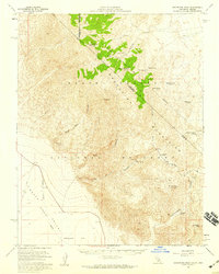
1957 · Grapevine Peak
USGS Topo · 1:62,500

1957 · Tin Mountain
USGS Topo · 1:62,500