
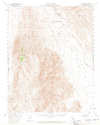
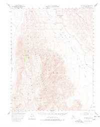
1957 Map of Tin Mountain
USGS Topo · Published 1959About this map
Tin Mountain and the surrounding high desert terrain define this mid-century survey of the northern reaches of Inyo County. The landscape is a stark transition from the high peaks of the Panamint Range and Cottonwood Mountains down into the dramatic depression of Death Valley. Sparse water sources like Burro Spring, Rest Spring, and Quartz Spring provide essential landmarks in an environment shaped by deep drainages such as Bighorn Gorge and Dry Bone Canyon.
Find a feature on this map
32 named features on this map. Tap any name to fly to it.
Don’t see what you’re looking for? This feature index may not catch every label — zoom into the map to look around manually.
Map Details
Editions of this 1957 Tin Mountain Map
3 editions found
Other maps of this area

1908 · Lida
USGS Topo · 1:250,000

1908 · Ballarat
USGS Topo · 1:250,000

1913 · Lida
USGS Topo · 1:250,000

1913 · Ballarat
USGS Topo · 1:250,000

1948 · Death Valley
USGS Topo · 1:250,000

1950 · Ubehebe Peak
USGS Topo · 1:62,500

1951 · Ubehebe Peak
USGS Topo · 1:62,500

1951 · Marble Canyon
USGS Topo · 1:62,500

1952 · Stovepipe Wells
USGS Topo · 1:62,500

1954 · Death Valley
USGS Topo · 1:250,000