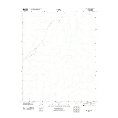
2012 Map of Dry Lake SE
USGS Topo · Published 2012About this map
Old Spanish Trail Rd carves through the arid landscape of Clark County, following a historic path that long predates modern infrastructure. This 2012 survey by the U. S. Geological Survey details a region defined by its drainage patterns and water sources, including the ephemeral Gypsum Wash and the remote Muddy Mountain Spring in the northeast. The presence of the trail road underscores the enduring importance of established routes through the desert, where access to water and navigable passes dictated the movement of early travelers and contemporary explorers alike. The landscape is sparse but revealing, showing how topographic features and sparse water points continue to shape human activity in this corner of Nevada.
Find a feature on this map
3 named features on this map. Tap any name to fly to it.
Don’t see what you’re looking for? This feature index may not catch every label — zoom into the map to look around manually.
Map Details
Editions of this 2012 Dry Lake SE Map
This is the sole edition of this map. No revisions or reprints were ever made.
Other maps of this area

1886 · Saint Thomas
USGS Topo · 1:250,000

1893 · Saint Thomas
USGS Topo · 1:250,000

1926 · Boulder Canyon
USGS Topo · 1:96,000

1952 · Dry Lake
USGS Topo · 1:62,500

1952 · Henderson
USGS Topo · 1:62,500

1953 · Muddy Peak
USGS Topo · 1:62,500

1953 · Hoover Dam
USGS Topo · 1:62,500

1954 · Las Vegas
USGS Topo · 1:250,000

1957 · Las Vegas
USGS Topo · 1:250,000

1959 · Las Vegas
USGS Topo · 1:250,000