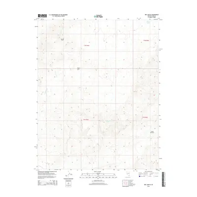
2014 Map of Dry Lake SE
USGS Topo · Published 2014About this map
The Dry Lake Range and the Muddy Mountains anchor this arid landscape within the Mojave Desert, revealing a complex network of drainage systems and high-desert terrain. In this corner of Clark County, the topography is defined by the significant seasonal waterways of California Wash and Gypsum Wash, which cut through the undulating contours. These dry washes are critical markers for understanding the historical hydrology and navigation of the region before modern development. The map also identifies the remote Muddy Mountain Spring, a vital water source in an otherwise parched environment. This survey captures the Public Land Survey System divisions, including t18s r64e and t19s r65e, which illustrate how this open territory was gridded for administrative and mineral oversight during the early 21st century.
Find a feature on this map
10 named features on this map. Tap any name to fly to it.
Don’t see what you’re looking for? This feature index may not catch every label — zoom into the map to look around manually.
Map Details
Editions of this 2014 Dry Lake SE Map
This is the sole edition of this map. No revisions or reprints were ever made.
Other maps of this area

1886 · Saint Thomas
USGS Topo · 1:250,000

1893 · Saint Thomas
USGS Topo · 1:250,000

1926 · Boulder Canyon
USGS Topo · 1:96,000

1952 · Dry Lake
USGS Topo · 1:62,500

1952 · Henderson
USGS Topo · 1:62,500

1953 · Muddy Peak
USGS Topo · 1:62,500

1953 · Hoover Dam
USGS Topo · 1:62,500

1954 · Las Vegas
USGS Topo · 1:250,000

1957 · Las Vegas
USGS Topo · 1:250,000

1959 · Las Vegas
USGS Topo · 1:250,000