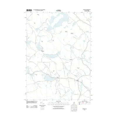
2012 Map of Dublin
USGS Topo · Published 2012About this map
Dublin and Harrisville anchor this corner of the Monadnock region, situated among a complex network of glacial ponds and prominent elevations. The landscape is defined by its water bodies, including the expansive Nubanusit Lake, Spoonwood Pond, and the central Lake Skatutakee, which are connected by waterways like Nubanusit Brook. This 2012 survey shows the rural character of the area, where clusters of settlement at Eastview and Bonds Corner are separated by significant high points such as Skatutakee Mountain, Thumb Mountain, and Hurricane Hill. The road network, featuring names like Old Harrisville Rd and Old Marlborough Rd, reflects historical travel patterns between these upland villages. The map also documents smaller features like Childs Bog and Dark Pond, illustrating the varied topography that has shaped local development and recreation for generations.
Find a feature on this map
114 named features on this map. Tap any name to fly to it.
Don’t see what you’re looking for? This feature index may not catch every label — zoom into the map to look around manually.
Map Details
Editions of this 2012 Dublin Map
This is the sole edition of this map. No revisions or reprints were ever made.
Other maps of this area

1898 · Monadnock
USGS Topo · 1:62,500

1900 · Peterboro
USGS Topo · 1:62,500

1926 · Hillsboro
USGS Topo · 1:62,500

1929 · Hillsboro
USGS Topo · 1:62,500

1930 · Lovewell Mountain
USGS Topo · 1:62,500

1936 · Monadnock
USGS Topo · 1:62,500

1942 · Keene
USGS Topo · 1:125,000

1942 · Lovewell Mountain
USGS Topo · 1:62,500

1943 · Fitchburg
USGS Topo · 1:125,000

1948 · Boston
USGS Topo · 1:250,000