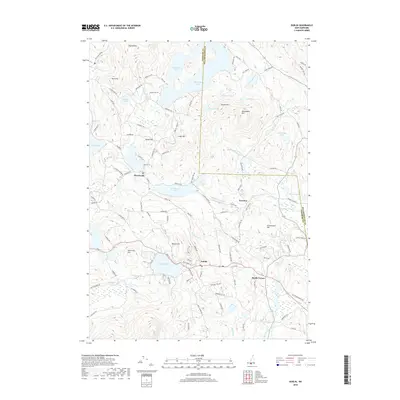
2018 Map of Dublin
USGS Topo · Published 2018About this map
Dublin and its neighboring villages are defined by a high-elevation landscape of glacial ponds and prominent peaks along the Cheshire Co and Hillsborough Co line. The settlement pattern clusters around the major water bodies, with the historic center of Harrisville situated between Childs Bog and Skatutakee Lake. Further south, the town of Dublin occupies the northern shore of Dublin Pond, surrounded by high points like Beech Hill and Hurricane Hill. This topography suggests a community long shaped by its varied water resources and the challenges of its steep terrain.
Find a feature on this map
114 named features on this map. Tap any name to fly to it.
Don’t see what you’re looking for? This feature index may not catch every label — zoom into the map to look around manually.
Map Details
Editions of this 2018 Dublin Map
This is the sole edition of this map. No revisions or reprints were ever made.
Other maps of this area

1898 · Monadnock
USGS Topo · 1:62,500

1900 · Peterboro
USGS Topo · 1:62,500

1926 · Hillsboro
USGS Topo · 1:62,500

1929 · Hillsboro
USGS Topo · 1:62,500

1930 · Lovewell Mountain
USGS Topo · 1:62,500

1936 · Monadnock
USGS Topo · 1:62,500

1942 · Keene
USGS Topo · 1:125,000

1942 · Lovewell Mountain
USGS Topo · 1:62,500

1943 · Fitchburg
USGS Topo · 1:125,000

1948 · Boston
USGS Topo · 1:250,000