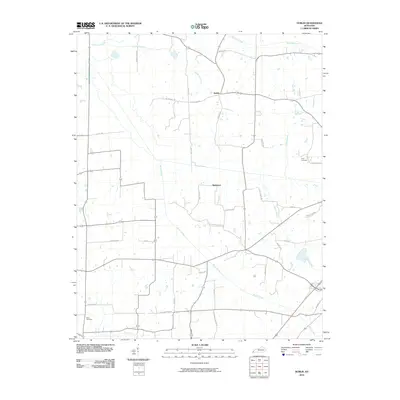
2010 Map of Dublin
USGS Topo · Published 2010About this map
Dublin and Baltimore anchor this corner of Graves County, representing the persistent agricultural settlements of western Kentucky. The landscape is defined by a dense network of watercourses, most notably the meandering path of Brush Creek and its various tributaries like Cane Creek and Sand Creek. The road system reflects a deeply rooted local history, with many routes named for family farms and early community centers, such as Folks School Rd and Baltimore Church Rd. Genealogists and local historians will find significant value in the documentation of family burial sites, including Price Cemetery and Clark Cemetery, which provide physical links to the area's early residents. The mapping of named lanes like Murphy Pond Rd and Wilson Hill Rd further illustrates the pattern of rural land use and the development of this lowland Kentucky terrain into a managed agricultural grid.
Find a feature on this map
37 named features on this map. Tap any name to fly to it.
Don’t see what you’re looking for? This feature index may not catch every label — zoom into the map to look around manually.
Map Details
Editions of this 2010 Dublin Map
This is the sole edition of this map. No revisions or reprints were ever made.
Other maps of this area

1951 · Milburn
USGS Topo · 1:24,000

1951 · Hickory
USGS Topo · 1:24,000

1951 · Hickory
USGS Topo · 1:62,500

1952 · Clinton
USGS Topo · 1:24,000

1952 · Mayfield
USGS Topo · 1:24,000

1952 · Dublin
USGS Topo · 1:24,000

1952 · Crutchfield
USGS Topo · 1:24,000

1952 · Cuba
USGS Topo · 1:24,000

1952 · Fancy Farm
USGS Topo · 1:24,000

1952 · Water Valley
USGS Topo · 1:24,000